Old Maps of Botanical Heights, St. Louis for Academic Research
Study the evolution of Botanical Heights with 27 high-resolution historic maps. Whether you're teaching, researching, or modeling changes in land use, these maps provide essential visual documentation of urban, environmental, and geographic change.
- Analyze long-term change: Track patterns in development, transportation, and natural features.
- Ideal for environmental or urban studies: Support academic projects with primary historical map data.
- Use in the classroom or lab: Educators and researchers rely on these maps to bring historical context to life.
These maps are a powerful tool for teaching, research, and visualizing how Botanical Heights has changed over the decades.
Botanical Heights, St. Louis maps
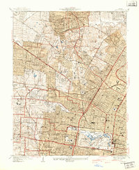
(27)- 1888 Map of St. Louis
 1888 St. Louis1888 Print · USGSCovers Botanical Heights, including St. Louis, Belleville, and other nearby areas
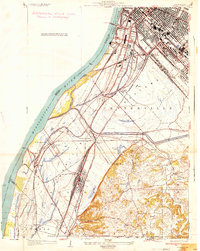
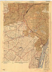
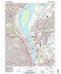
 - 1933 Map of Granite City
 1933 Granite City1933 Print · USGSCovers Botanical Heights, including St. Louis, Granite City, and other nearby areas2 unique versions available
 - 1933 Map of Jefferson Barracks
 1933 Jefferson Barracks1933 Print · USGSCovers Botanical Heights, including Mehlville, Webster Groves, and other nearby areas
 - 1933 Map of Cahokia
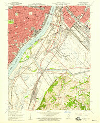
 1933 Cahokia1933 Print · USGSCovers Botanical Heights, including Cahokia Heights, East St. Louis, and other nearby areas
 - 1933 Map of Clayton
 1933 Clayton1933 Print · USGSCovers Botanical Heights, including University City, Ferguson, and other nearby areas
 - 1934 Map of Cahokia
 1934 Cahokia1934 Print · USGSCovers Botanical Heights, including Cahokia Heights, East St. Louis, and other nearby areas2 unique versions available
 - 1935 Map of Granite City
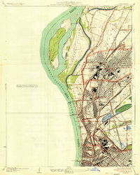 1935 Granite City1935 Print · USGSCovers Botanical Heights, including St. Louis, Granite City, and other nearby areas2 unique versions available
 - 1940 Map of Granite City
 1940 Granite City1940 Print · USGSCovers Botanical Heights, including St. Louis, Granite City, and other nearby areas5 unique versions available
 - 1940 Map of Cahokia
 1940 Cahokia1940 Print · USGSCovers Botanical Heights, including Cahokia Heights, East St. Louis, and other nearby areas4 unique versions available
 - 1941 Map of Clayton
 1941 Clayton1941 Print · USGSCovers Botanical Heights, including University City, Ferguson, and other nearby areas2 unique versions available
 - 1941 Map of Jefferson Barracks
 1941 Jefferson Barracks1941 Print · USGSCovers Botanical Heights, including Mehlville, Webster Groves, and other nearby areas3 unique versions available
 - 1949 Map of Saint Louis
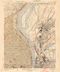
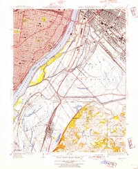
 1949 Saint Louis1949 Print · USGSCovers Botanical Heights, including St. Louis, O'Fallon, and other nearby areas2 unique versions available
 - 1949 Map of Cahokia, 1954 Print
 1949 Cahokia1954 Print · USGSCovers Botanical Heights, including Cahokia Heights, East St. Louis, and other nearby areas2 unique versions available
 - 1954 Map of Granite City, 1958 Print
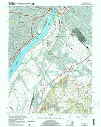
 1954 Granite City1958 Print · USGSCovers Botanical Heights, including St. Louis, Granite City, and other nearby areas6 unique versions available
 - 1954 Map of Clayton, 1959 Print
 1954 Clayton1959 Print · USGSCovers Botanical Heights, including University City, Ferguson, and other nearby areas6 unique versions available
 - 1954 Map of Webster Groves, 1959 Print
 1954 Webster Groves1959 Print · USGSCovers Botanical Heights, including Mehlville, Webster Groves, and other nearby areas5 unique versions available
 - 1954 Map of Cahokia, 1959 Print
 1954 Cahokia1959 Print · USGSCovers Botanical Heights, including Cahokia Heights, East St. Louis, and other nearby areas5 unique versions available
 - 1962 Map of St. Louis
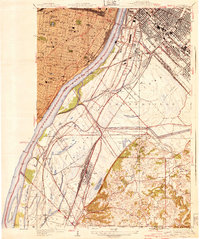
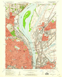
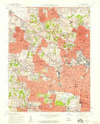
 1962 St. Louis1962 Print · USGSCovers Botanical Heights, including St. Louis, O'Fallon, and other nearby areas
 - 1963 Map of St. Louis, 1970 Print
 1963 St. Louis1970 Print · USGSCovers Botanical Heights, including St. Louis, O'Fallon, and other nearby areas4 unique versions available
 - 1966 Map of St. Louis
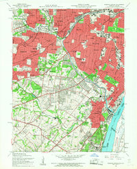
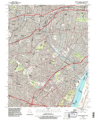
 1966 St. Louis1966 Print · USGSCovers Botanical Heights, including St. Louis, O'Fallon, and other nearby areas
 - 1985 Map of St Louis
 1985 St Louis1985 Print · USGSCovers Botanical Heights, including St. Louis, O'Fallon, and other nearby areas3 unique versions available
 - 1993 Map of Cahokia, 1996 Print
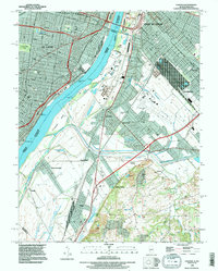 1993 Cahokia1996 Print · USGSCovers Botanical Heights, including Cahokia Heights, East St. Louis, and other nearby areas
 - 1993 Map of Granite City, 1996 Print
 1993 Granite City1996 Print · USGSCovers Botanical Heights, including St. Louis, Granite City, and other nearby areas
 - 1993 Map of Webster Groves, 1996 Print
 1993 Webster Groves1996 Print · USGSCovers Botanical Heights, including Mehlville, Webster Groves, and other nearby areas
 - 1998 Map of Cahokia, 1999 Print
 1998 Cahokia1999 Print · USGSCovers Botanical Heights, including Cahokia Heights, East St. Louis, and other nearby areas
Showing maps 1-25 of 27
Frequently asked questions
- What are the different types of historical maps available for Botanical Heights?
- What is the oldest map of Botanical Heights?
- Where can I purchase historical maps of Botanical Heights for my home or office?
- Where can I download high-res historical maps of Botanical Heights?
- Are there historical topographic maps available for Botanical Heights?
- Is there historical aerial imagery available for Botanical Heights?
- Where are historical maps of Botanical Heights sourced from?