Old Maps of Downtown West, Missouri
Explore 29 old maps of Downtown West, spanning from 1888 to today. These high-resolution historic maps reveal how streets, neighborhoods, landmarks, and natural features evolved over time — perfect for genealogy, metal detecting, research, and local history exploration.
What you can do with these maps:
- See how Downtown West changed over time: Compare historical maps to modern-day views to trace roads, homesites, rail lines & more.
- View detailed metadata: Each map includes creators, publishers, year, scale, and archive source.
- Overlay maps with satellite & LiDAR: Visualize the past alongside modern tools to explore terrain & human change.
- Trusted historical sources: Maps sourced from the USGS, Library of Congress, and other archives.
- Access maps your way: View online, download high-res files, or order prints for personal or research use.
Start exploring old maps of Downtown West to uncover forgotten places, hidden landmarks, and the deep history beneath your feet.
Downtown West, MO maps
(29)- 1888 Map of St. Louis
 1888 St. Louis1888 Print · USGSThe Illinois bottomlands across from St. Louis come alive in the late nineteenth century as a massive railroad hub emerging from the river wetlands. Researchers can trace early rail junctions and settlements like French Village, the ancient Monks Mound, and the industrial waterfronts of Brooklyn and East St Louis.
 - 1933 Map of Granite City
 1933 Granite City1933 Print · USGSThe riverfront and urban neighborhoods of St. Louis thrive during the early thirties as a hub of rail and river commerce. Genealogists and historians can trace family roots through numerous local parishes like St Joseph Ch and the vast Calvary Cemetery.2 unique versions available
 - 1933 Map of Cahokia
 1933 Cahokia1933 Print · USGSThe riverfront neighborhoods of south St. Louis are captured in detail during the early 1930s, showing a bustling landscape of schools and industry. Genealogists can trace family locations near Carondelet, St Anthony Ch, or the Mo Pac Hospital.
 - 1934 Map of Cahokia
 1934 Cahokia1934 Print · USGSThe industrial corridor and riverfront of St. Clair County are captured here in the mid-1930s as heavy rail and river commerce defined the landscape. Genealogists and historians can trace family-named schools and early settlements like Dupo, Lark Cem, and Falling Spring.2 unique versions available
 - 1935 Map of Granite City
 1935 Granite City1935 Print · USGSThe industrial riverfront of Madison County thrives in the mid-1930s, showing a dense landscape of rail yards and expanding cities. Researchers can trace the complex trackage of the ILLINOIS TERMINAL RR and locate landmarks like the NATIONAL STOCK YARDS or Wilson Park.2 unique versions available
 - 1940 Map of Granite City
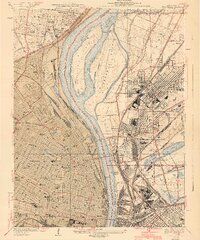 1940 Granite City1940 Print · USGSThe industrial heart of the bi-state region comes alive in this 1940s survey of the riverfront between Illinois and Missouri. Researchers can trace the massive rail yards and river docks supporting Granite City, alongside historic landmarks like Union Station, St Louis University, and the Bellefontaine Cemetery.4 unique versions available
 - 1940 Map of Cahokia
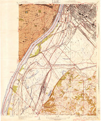 1940 Cahokia1940 Print · USGSThe industrial riverfront south of St Louis thrived in the early twentieth century as a massive rail and shipping hub. Trace the development of Cahokia and Dupo or locate landmarks like the U S Marine Hospital and the Lark Cem.3 unique versions available
 - 1949 Map of Saint Louis
 1949 Saint Louis1949 Print · USGSGreater St. Louis and its surrounding river valleys are captured here just after the war, showing the metropolitan core and the rural Ozark fringe. Researchers can trace the sprawling rail network of the Wabash RR or locate landmarks like Meramec Caverns Airport and Scott Air Force Base.2 unique versions available
 - 1949 Map of Cahokia, 1954 Print
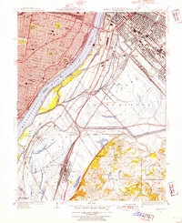 1949 Cahokia1954 Print · USGSMid-century development and heavy industry define this riverfront region as St. Louis expands toward the Illinois rail yards. Researchers can trace the heritage of Dupo and Cahokia, locate St Josephs Cem, or find industrial landmarks like Monsanto.2 unique versions available
 - 1954 Map of Granite City, 1958 Print
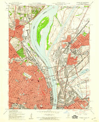 1954 Granite City1958 Print · USGSThe mid-century riverfront industrial landscape comes alive here where Missouri and Illinois meet at the Mississippi. Researchers can trace historic neighborhoods and landmarks from Busch Stadium to the sprawling Calvary Cemetery and the Chain of Rocks Canal.6 unique versions available
 - 1954 Map of Cahokia, 1959 Print
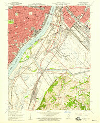 1954 Cahokia1959 Print · USGSMid-century St. Louis and East St. Louis are documented here at a peak of rail and river industry along the Mississippi River. Genealogists and historians can trace local landmarks from Old Cathedral and Holy Family Cem to the early aviation history of Parks Metropolitan Airport.5 unique versions available
 - 1962 Map of St. Louis
 1962 St. Louis1962 Print · USGSThe mid-century gateway to the west shows the metropolitan expansion of St Louis alongside its critical river confluences. Genealogists and historians can trace the rail corridors of the Missouri Pacific RR and settlements from Fulton to De Soto.
 - 1963 Map of St. Louis, 1970 Print
 1963 St. Louis1970 Print · USGSSt. Louis and its surrounding river valleys are captured here during the peak of mid-century suburban expansion and industrial activity. Trace the historic rail routes of the Norfolk and Western Ry or locate the St Louis Ordnance Plant and early stretches of US Highway 66.4 unique versions available
 - 1966 Map of St. Louis
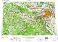 1966 St. Louis1966 Print · USGSThe St. Louis metropolitan area and its surrounding river valleys are captured here during the mid-sixties era of suburban growth and industrial strength. Genealogists and historians can trace the foundations of local communities through sites like Old Pioneer Cem, Parks College, and the Jefferson Barracks Military Reservation.
 - 1985 Map of St Louis
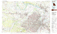 1985 St Louis1985 Print · USGSThe St. Louis metropolitan area and its river confluences are captured here during a period of significant suburban expansion in the 1980s. Genealogists and historians can trace the development of older neighborhoods and landmarks like Jefferson Barracks, Cahokia Mounds State Park, and Washington University.3 unique versions available
 - 1993 Map of Cahokia, 1996 Print
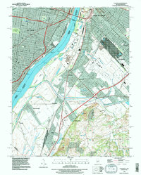 1993 Cahokia1996 Print · USGSThe industrial heart of the Mississippi riverfront comes alive in this survey of the St. Louis and East St. Louis corridor. Genealogists can trace family connections at Holy Family Cem or Bohnemeier Cem while exploring the rail hubs of Dupo.
 - 1993 Map of Granite City, 1996 Print
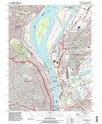 1993 Granite City1996 Print · USGSThe Mississippi riverfront near St. Louis and Granite City is shown here in the 1990s as a hub of industry and transit. Trace family plots in Calvary Cemetery or locate the Brooklyn (Lovejoy PO) post office and Mc Kinley Bridge.
 - 1998 Map of Cahokia, 1999 Print
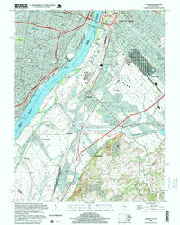 1998 Cahokia1999 Print · USGSThe industrial riverfronts of St. Louis and East St. Louis are captured here in the late 1990s as they bridge the Mississippi River. Genealogists and local historians can trace legacy sites like Holy Family Cem, Arsenal Island, and the U S Engineers Depot.
 - 1998 Map of Granite City, 1999 Print
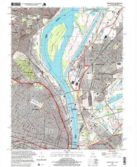 1998 Granite City1999 Print · USGSGreater St. Louis and the Illinois riverfront are captured here in the late 1990s as the region's industrial and river infrastructure remained in full force. Genealogists and historians can trace family plots in Calvary Cemetery or locate the historic Brooklyn (Lovejoy PO) and the Municipal Dock.
 - 2012 Map of Cahokia, 2012 Print
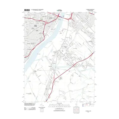 2012 Cahokia2012 Print · USGSThe riverfront and urban districts of Missouri and Illinois are captured here in the early twenty-first century. Genealogists and local researchers can trace the neighborhoods of Soulard and Lafayette Square or locate family sites at Holy Family Cem and Saint Joseph Cem.
 - 2012 Map of Granite City, 2012 Print
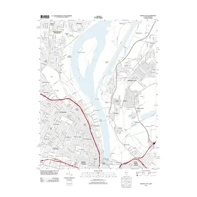 2012 Granite City2012 Print · USGSThe riverfront neighborhoods and industrial corridors of St. Louis and Granite City are captured in detail during the early 2010s. Genealogists can trace family plots in Calvary Cem or Bellefontaine Cem, while researchers can study the infrastructure of the National Stock Yards and Merchants Bridge.
 - 2015 Map of Cahokia, 2015 Print
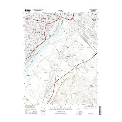 2015 Cahokia2015 Print · USGSGreater St. Louis and the Illinois riverfront are captured here in the mid-2010s, showing the dense urban core and the industrial American Bottoms. Genealogists and historians can trace neighborhood developments from Soulard to Cahokia while locating sites like Holy Family Cem and the Macarthur Bridge.
 - 2015 Map of Granite City, 2015 Print
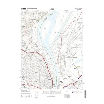 2015 Granite City2015 Print · USGSThe industrial riverfronts of St. Louis and Granite City are captured here in the mid-2010s, showcasing the complex network of bridges and islands. Researchers can trace local heritage through numerous burial grounds like Calvary Cem and Odd Fellows Cem or explore the urban layouts of Old North Saint Louis and Fairmont City.
 - 2018 Map of Cahokia, 2018 Print
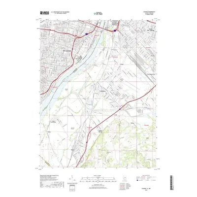 2018 Cahokia2018 Print · USGSThe riverfront corridor between Missouri and Illinois is captured here in a period of industrial and urban maturity. Researchers can trace family history through sites like Holy Family Cem or locate former rail hubs at St Louis AFS and Dupo.
 - 2018 Map of Granite City, 2018 Print
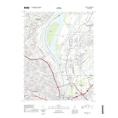 2018 Granite City2018 Print · USGSThe industrial corridor of the Mississippi River and the sprawling cemeteries of North St. Louis come into focus in this late 2010s survey. Researchers can trace historic river crossings like the McKinley Bridge or locate burial sites at Calvary Cem and New Bethlehem Cem.
Showing maps 1-25 of 29
Frequently asked questions
- What are the different types of historical maps available for Downtown West?
- What is the oldest map of Downtown West?
- Where can I purchase historical maps of Downtown West for my home or office?
- Where can I download high-res historical maps of Downtown West?
- Are there historical topographic maps available for Downtown West?
- Is there historical aerial imagery available for Downtown West?
- Where are historical maps of Downtown West sourced from?