Old Maps of Humphreys, Missouri for Metal Detecting
Plan your next treasure hunt with 16 historic maps of Humphreys. Find old homesites, ghost towns, trails, and gathering spots that may be lost to time — perfect for identifying promising metal detecting locations.
- Locate forgotten sites: Uncover places like long-lost settlements, abandoned rail lines, or gathering spots.
- Plan better hunts: Use map overlays combined with LiDAR or satellite views to narrow in on historically rich areas.
- Made for detectorists: Thousands of hobbyists use these maps to discover relics, coins, and hidden history.
Use these historic maps to boost your research and find new opportunities beneath the surface of Humphreys.
Humphreys, MO maps
(16)- 1946 Map of Galt, 1981 Print
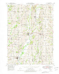 1946 Galt1981 Print · USGSMid-century Missouri agriculture and rail life are preserved here, showing the region at the height of its rural school and church network. Genealogists can locate specific family landmarks like Sandefur Cem or trace the early paths to Mud College Sch and Camp Ground Ch.
 - 1949 Map of Galt
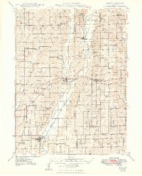 1949 Galt1949 Print · USGSMid-century Missouri farm life is captured here near the Grundy and Sullivan county lines as the rail network still linked small towns. Trace family roots through numerous local schools and churches like Mud College Sch, Starlight Ch, and Richardson Cem.2 unique versions available
 - 1954 Map of Centerville, 1967 Print
 1954 Centerville1967 Print · USGSThe Iowa-Missouri borderlands at mid-century reveal a landscape shaped by river valleys and the height of the regional rail network. Genealogists and historians can trace the paths of the Wabash railroad and locate old townsites like Mystic, Moulton, and Greentop.3 unique versions available
 - 1957 Map of Centerville
 1957 Centerville1957 Print · USGSThe Iowa-Missouri borderlands in the mid-fifties reveal a landscape of river-valley agriculture and vital rail corridors. Genealogists and historians can trace family-named landmarks and small-town growth in Centerville, Kirksville, and along the Wabash railroad line.
 - 1958 Map of Centerville
 1958 Centerville1958 Print · USGSThe Iowa-Missouri borderlands come into focus during the mid-fifties, showing a landscape defined by river valleys and intersecting rail lines. Genealogists and local historians can trace family roots through dozens of rural hubs like Bloomfield, Unionville, and Corydon.
 - 1981 Map of Trenton
 1981 Trenton1981 Print · USGSNorthern Missouri in the early eighties remains a landscape defined by its river valleys and intersecting rail lines. Genealogists and local historians can trace the development of riverside towns like Trenton and Princeton or locate smaller rural junctions such as Humphreys and Brimson.
 - 1984 Map of Lindley, 1985 Print
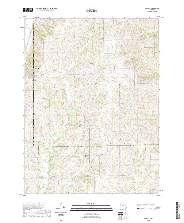
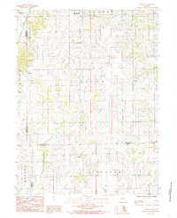 1984 Lindley1985 Print · USGSSullivan County and the surrounding tri-county borderlands are captured here in the early eighties as a network of rural townships and winding creeks. Genealogists and local researchers can trace family lands near Humphreys, Lindley, and the small settlement of Haseville.
 - 1984 Map of Osgood, 1985 Print
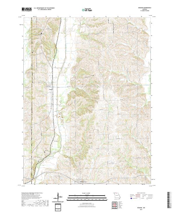
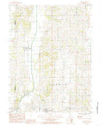 1984 Osgood1985 Print · USGSSullivan County agriculture and the watercourse of Medicine Creek define this region in the early 1980s. Genealogists can trace the rural layouts of Osgood and Humphreys or explore the boundaries of Liberty and Bowman townships.
 - 2012 Map of Osgood, 2012 Print
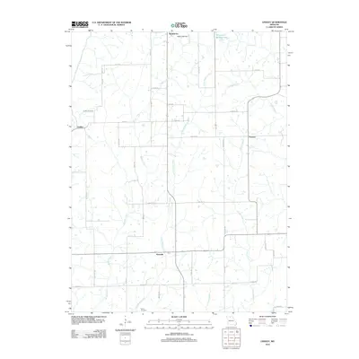
 2012 Osgood2012 Print · USGSCovers Humphreys, including Osgood, Cookman, and other nearby areas
 - 2012 Map of Lindley, 2012 Print
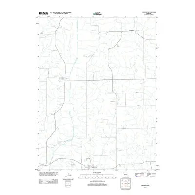
 2012 Lindley2012 Print · USGSCovers Humphreys, including Haseville, Lindley, and other nearby areas
 - 2014 Map of Lindley, 2014 Print
 2014 Lindley2014 Print · USGSCovers Humphreys, including Haseville, Lindley, and other nearby areas
 - 2014 Map of Osgood, 2014 Print
 2014 Osgood2014 Print · USGSCovers Humphreys, including Osgood, Cookman, and other nearby areas
 - 2017 Map of Osgood, 2017 Print
 2017 Osgood2017 Print · USGSCovers Humphreys, including Osgood, Cookman, and other nearby areas
 - 2017 Map of Lindley, 2017 Print
 2017 Lindley2017 Print · USGSCovers Humphreys, including Haseville, Lindley, and other nearby areas
 - 2021 Map of Lindley, 2021 Print
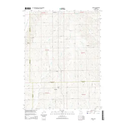
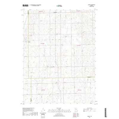
 2021 Lindley2021 Print · USGSSullivan and Linn counties are documented here in the early twenty-first century, showing a landscape defined by meandering creek beds and family-run farms. Researchers can locate burial sites like Haseville Cem and Mount Zion Cem or trace the drainage of Medicine Creek and Muddy Cr.
 - 2021 Map of Osgood, 2021 Print
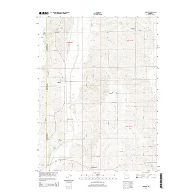
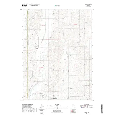
 2021 Osgood2021 Print · USGSThe Grundy and Sullivan county line comes into focus in this contemporary survey of northern Missouri. Genealogists and local historians can trace burial sites like Tunnell Cem and Grove Cem or explore the rural layout of Osgood and Humphreys.
End of results
Showing maps 1-16 of 16
Top cities near Humphreys
- Milan historical maps
- Galt historical maps
- Browning historical maps
- Laredo historical maps
- Grantsville historical maps
- Purdin historical maps
See more
Frequently asked questions
- What are the different types of historical maps available for Humphreys?
- What is the oldest map of Humphreys?
- Where can I purchase historical maps of Humphreys for my home or office?
- Where can I download high-res historical maps of Humphreys?
- Are there historical topographic maps available for Humphreys?
- Is there historical aerial imagery available for Humphreys?
- Where are historical maps of Humphreys sourced from?