Old Maps of Newtown, Missouri for Metal Detecting
Plan your next treasure hunt with 14 historic maps of Newtown. Find old homesites, ghost towns, trails, and gathering spots that may be lost to time — perfect for identifying promising metal detecting locations.
- Locate forgotten sites: Uncover places like long-lost settlements, abandoned rail lines, or gathering spots.
- Plan better hunts: Use map overlays combined with LiDAR or satellite views to narrow in on historically rich areas.
- Made for detectorists: Thousands of hobbyists use these maps to discover relics, coins, and hidden history.
Use these historic maps to boost your research and find new opportunities beneath the surface of Newtown.
Newtown, MO maps
(14)- 1954 Map of Centerville, 1967 Print
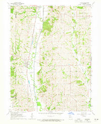
 1954 Centerville1967 Print · USGSThe Iowa-Missouri borderlands at mid-century reveal a landscape shaped by river valleys and the height of the regional rail network. Genealogists and historians can trace the paths of the Wabash railroad and locate old townsites like Mystic, Moulton, and Greentop.3 unique versions available
 - 1957 Map of Centerville
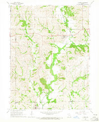
 1957 Centerville1957 Print · USGSThe Iowa-Missouri borderlands in the mid-fifties reveal a landscape of river-valley agriculture and vital rail corridors. Genealogists and historians can trace family-named landmarks and small-town growth in Centerville, Kirksville, and along the Wabash railroad line.
 - 1958 Map of Centerville
 1958 Centerville1958 Print · USGSThe Iowa-Missouri borderlands come into focus during the mid-fifties, showing a landscape defined by river valleys and intersecting rail lines. Genealogists and local historians can trace family roots through dozens of rural hubs like Bloomfield, Unionville, and Corydon.
 - 1964 Map of Harris, 1965 Print
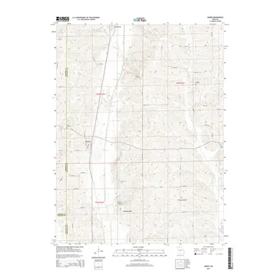
 1964 Harris1965 Print · USGSSullivan County's rural townships are documented in the mid-sixties, showing the agricultural landscape and rail corridors near the Mercer and Grundy borders. Researchers can trace family roots at Harris Cem and Center Grove Ch or follow the Chicago Milwaukee St Paul and Pacific rail line.2 unique versions available
 - 1964 Map of Lucerne, 1965 Print
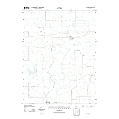
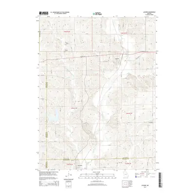
 1964 Lucerne1965 Print · USGSThe rural landscape of Putnam County comes into focus in the mid-1960s, showing a region defined by its rail connections and creek-bottom farms. Researchers can trace family history through the Old Busby Cem, West Putnam Sch, and the village of Lucerne.
 - 1981 Map of Trenton
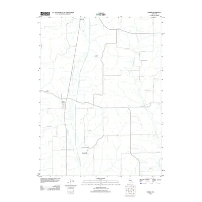
 1981 Trenton1981 Print · USGSNorthern Missouri in the early eighties remains a landscape defined by its river valleys and intersecting rail lines. Genealogists and local historians can trace the development of riverside towns like Trenton and Princeton or locate smaller rural junctions such as Humphreys and Brimson.
 - 2012 Map of Lucerne, 2012 Print
 2012 Lucerne2012 Print · USGSCovers Newtown, including Lucerne, Putnam County, and other nearby areas
 - 2012 Map of Harris, 2012 Print
 2012 Harris2012 Print · USGSCovers Newtown, including Harris, Wintersville, and other nearby areas
 - 2014 Map of Lucerne, 2014 Print
 2014 Lucerne2014 Print · USGSCovers Newtown, including Lucerne, Putnam County, and other nearby areas
 - 2014 Map of Harris, 2014 Print
 2014 Harris2014 Print · USGSCovers Newtown, including Harris, Wintersville, and other nearby areas
 - 2017 Map of Harris, 2017 Print
 2017 Harris2017 Print · USGSCovers Newtown, including Harris, Wintersville, and other nearby areas
 - 2017 Map of Lucerne, 2017 Print
 2017 Lucerne2017 Print · USGSCovers Newtown, including Lucerne, Putnam County, and other nearby areas
 - 2021 Map of Harris, 2021 Print
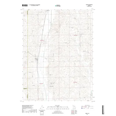
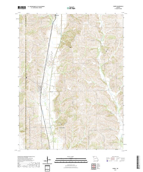 2021 Harris2021 Print · USGSSullivan and Mercer counties meet in this agricultural landscape as it appeared in the early 2020s. Genealogists and local researchers can locate family sites like Busby Cemetery and the settlements of Harris and Wintersville along the banks of Medicine Creek.
 - 2021 Map of Lucerne, 2021 Print
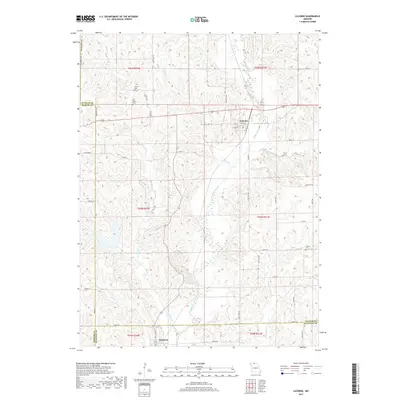
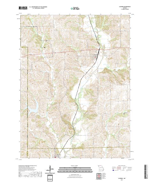 2021 Lucerne2021 Print · USGSNorth Missouri’s rolling creek valleys and rural crossroads are captured in this recent survey of the Putnam and Sullivan County border. Researchers can locate family sites and cemeteries like Old Busby Cemetery or trace the winding course of Medicine Creek.
End of results
Showing maps 1-14 of 14
Top cities near Newtown
- Milan historical maps
- Mercer historical maps
- Ravanna historical maps
- Lineville historical maps
- Harris historical maps
- Lucerne historical maps
See more
Frequently asked questions
- What are the different types of historical maps available for Newtown?
- What is the oldest map of Newtown?
- Where can I purchase historical maps of Newtown for my home or office?
- Where can I download high-res historical maps of Newtown?
- Are there historical topographic maps available for Newtown?
- Is there historical aerial imagery available for Newtown?
- Where are historical maps of Newtown sourced from?