Old Maps of Paw Paw, Missouri for Hiking & Exploration
Hike through history with 9 historic maps of Paw Paw. Explore old trails, ghost towns, and forgotten backroads — perfect for outdoor adventurers and local explorers.
- Rediscover forgotten places: Map out old mining camps, roads, and footpaths that no longer exist on modern maps.
- Layer with modern tools: Combine with LiDAR or satellite views to plan hikes through historical terrain.
- Made for exploration: Popular among hikers, overlanders, and local history lovers.
Use these maps to find adventure and explore the hidden past of Paw Paw.
Paw Paw, MO maps
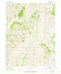
(9)- 1954 Map of Centerville, 1967 Print
 1954 Centerville1967 Print · USGSThe Iowa-Missouri borderlands at mid-century reveal a landscape shaped by river valleys and the height of the regional rail network. Genealogists and historians can trace the paths of the Wabash railroad and locate old townsites like Mystic, Moulton, and Greentop.3 unique versions available
 - 1957 Map of Centerville
 1957 Centerville1957 Print · USGSThe Iowa-Missouri borderlands in the mid-fifties reveal a landscape of river-valley agriculture and vital rail corridors. Genealogists and historians can trace family-named landmarks and small-town growth in Centerville, Kirksville, and along the Wabash railroad line.
 - 1958 Map of Centerville
 1958 Centerville1958 Print · USGSThe Iowa-Missouri borderlands come into focus during the mid-fifties, showing a landscape defined by river valleys and intersecting rail lines. Genealogists and local historians can trace family roots through dozens of rural hubs like Bloomfield, Unionville, and Corydon.
 - 1964 Map of Milan SE, 1965 Print
 1964 Milan SE1965 Print · USGSThe rural borderlands of Sullivan and Linn County come to life in the mid-1960s, showing a landscape of family farms and creek-side settlements. Genealogists can trace local history through markers like Mt Zion Ch, Brittain Cem, and the village of Enterprise.
 - 1981 Map of Trenton
 1981 Trenton1981 Print · USGSNorthern Missouri in the early eighties remains a landscape defined by its river valleys and intersecting rail lines. Genealogists and local historians can trace the development of riverside towns like Trenton and Princeton or locate smaller rural junctions such as Humphreys and Brimson.
 - 2012 Map of Milan SE, 2012 Print
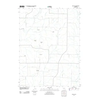 2012 Milan SE2012 Print · USGSCovers Paw Paw, including Enterprise, Linn County, and other nearby areas
 - 2014 Map of Milan SE, 2014 Print
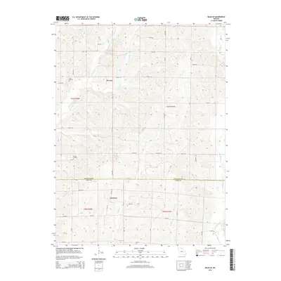 2014 Milan SE2014 Print · USGSCovers Paw Paw, including Enterprise, Linn County, and other nearby areas
 - 2017 Map of Milan SE, 2017 Print
 2017 Milan SE2017 Print · USGSCovers Paw Paw, including Enterprise, Linn County, and other nearby areas
 - 2021 Map of Milan SE, 2021 Print
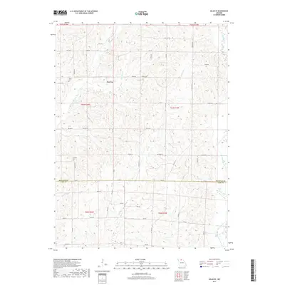
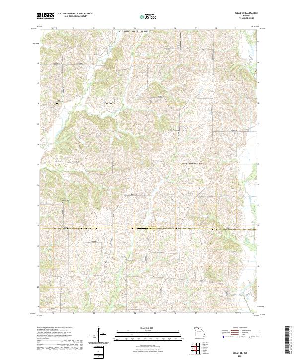 2021 Milan SE2021 Print · USGSSullivan and Linn Counties are captured here in their modern rural character along the border of these two Missouri districts. Researchers can trace family history at Hollon Cem and Knifong Cem or explore the drainage of Paw Paw Cr and W Yellow Cr.
End of results
Showing maps 1-9 of 9
Top cities near Paw Paw
- Milan historical maps
- Green City historical maps
- Linneus historical maps
- Browning historical maps
- Grantsville historical maps
- Purdin historical maps
See more
Frequently asked questions
- What are the different types of historical maps available for Paw Paw?
- What is the oldest map of Paw Paw?
- Where can I purchase historical maps of Paw Paw for my home or office?
- Where can I download high-res historical maps of Paw Paw?
- Are there historical topographic maps available for Paw Paw?
- Is there historical aerial imagery available for Paw Paw?
- Where are historical maps of Paw Paw sourced from?