Old Maps of Dykes, Missouri for Academic Research
Study the evolution of Dykes with 11 high-resolution historic maps. Whether you're teaching, researching, or modeling changes in land use, these maps provide essential visual documentation of urban, environmental, and geographic change.
- Analyze long-term change: Track patterns in development, transportation, and natural features.
- Ideal for environmental or urban studies: Support academic projects with primary historical map data.
- Use in the classroom or lab: Educators and researchers rely on these maps to bring historical context to life.
These maps are a powerful tool for teaching, research, and visualizing how Dykes has changed over the decades.
Dykes, MO maps
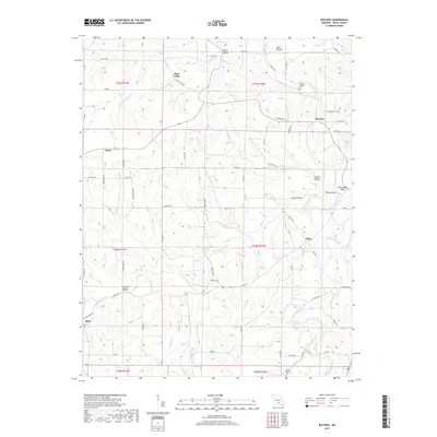
(11)- 1941 Map of Bado, 1974 Print
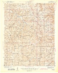
 1941 Bado1974 Print · USGSTexas County, Missouri, is documented here in the early 1940s, showing a landscape of small upland farms and forest communities. Genealogists can trace family roots through numerous sites like Old Union Cem, Bucyrus, and Pleasant Ridge Sch.
 - 1943 Map of Bado
 1943 Bado1943 Print · USGSThe Missouri Ozarks are captured here in the early 1940s, showing a landscape defined by the Mark Twain National Forest and rural river valleys. Genealogists can trace family roots through numerous landmarks like Lynch Cem, Ragsdale Sch, and the Barium Mine.3 unique versions available
 - 1954 Map of Springfield
 1954 Springfield1954 Print · USGSThe Missouri Ozarks are captured here during the post-war era, showing the expansion of Springfield and the surrounding river valleys. Genealogists and historians can trace local landmarks like Mount Comfort Cemetery and the Fort Leonard Wood military grounds.6 unique versions available
 - 1958 Map of Springfield
 1958 Springfield1958 Print · USGSThe Missouri Ozarks are captured during the mid-century era of growth, centered on the bustling hub of Springfield. Genealogists and historians can trace family roots through numerous landmarks like Ebenezer Church, Stockton Cem, and the various county courthouses.
 - 1959 Map of Springfield
 1959 Springfield1959 Print · USGSThe Missouri Ozarks are captured here during a decade of postwar growth and increasing highway connectivity. Researchers can trace the legacy of the St Louis-San Francisco RR and locate early sites in Springfield, Lebanon, and Mountain Grove.
 - 1983 Map of Mountain Grove
 1983 Mountain Grove1983 Print · USGSWright and Webster counties in the early 1980s show a traditional Ozark landscape of ridge-running railroads and river headwaters. You can trace the Burlington Northern Railroad through towns like Mansfield or find rural landmarks like Vance Cem and Mt Zion Church.
 - 1987 Map of Bucyrus
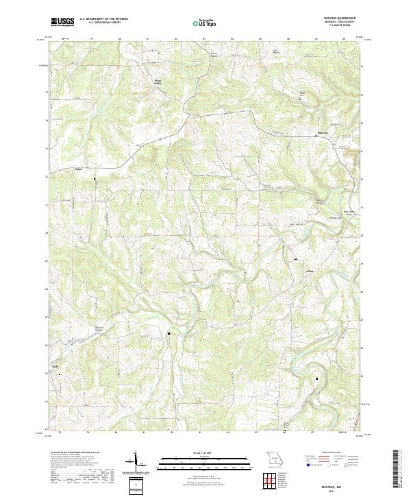
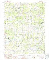 1987 Bucyrus1987 Print · USGSTexas County communities and the winding Big Piney River are documented in this late 1980s topographic study. Researchers can trace rural settlement patterns near Bucyrus, identify local landmarks like Dripping Springs, and locate boundaries for the Houston Tower Site State Wildlife Area.
 - 2012 Map of Bucyrus, 2012 Print
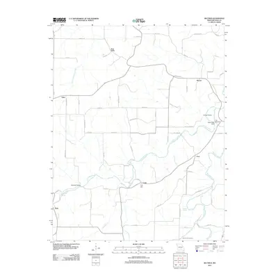 2012 Bucyrus2012 Print · USGSCovers Dykes, including Bado, Bucyrus, and other nearby areas
 - 2015 Map of Bucyrus, 2015 Print
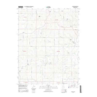 2015 Bucyrus2015 Print · USGSCovers Dykes, including Bado, Bucyrus, and other nearby areas
 - 2017 Map of Bucyrus, 2017 Print
 2017 Bucyrus2017 Print · USGSCovers Dykes, including Bado, Bucyrus, and other nearby areas
 - 2021 Map of Bucyrus, 2021 Print
 2021 Bucyrus2021 Print · USGSTexas County’s rural character is on full display in this modern survey of the Missouri Ozarks. Local historians can locate ancestral sites like Emery Chapel Cem or trace the winding paths of the Big Piney River and Little Piney River through The Narrows.
End of results
Showing maps 1-11 of 11
Top cities near Dykes
- Cabool historical maps
- Houston historical maps
- Roubidoux historical maps
- Upton historical maps
- Plato historical maps
Frequently asked questions
- What are the different types of historical maps available for Dykes?
- What is the oldest map of Dykes?
- Where can I purchase historical maps of Dykes for my home or office?
- Where can I download high-res historical maps of Dykes?
- Are there historical topographic maps available for Dykes?
- Is there historical aerial imagery available for Dykes?
- Where are historical maps of Dykes sourced from?