2000s (21st Century) Maps of Edanville, Missouri
Explore 5 historic maps of Edanville from the 2000s (21st Century). These maps offer a rare glimpse into what life looked like during the 2000s — showing old roads, neighborhoods, homes, and landmarks that have changed or disappeared over time.
Whether you're researching your family's past, planning a metal detecting trip, or studying how Edanville's landscape evolved across the 2000s, these high-resolution maps are a powerful tool for exploring the history of this region.
- Focus on a specific era: All maps on this page are from the 2000s, giving you a focused view of this time period.
- See what’s changed: Compare century-old streets, trails, and buildings to today's modern landscape using overlays and satellite layers.
- Research with precision: Use these maps for genealogy, historical research, land use analysis, or educational projects.
- View, download, or print: Maps are fully viewable online in high resolution, and can be downloaded or printed for your own records.
Start exploring Edanville's history through authentic maps from the 2000s. This is your window into the past.
Edanville, MO maps
(5)- 2004 Map of Slabtown Spring, 2006 Print
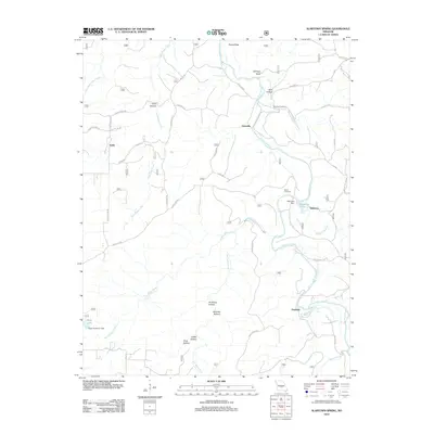
 2004 Slabtown Spring2006 Print · USGSThe Missouri Ozarks are captured here at the dawn of the new millennium, showcasing a landscape of dense forests and river hollows. Researchers can locate the Omalley Cem, trace the waters of Slabtown Spring, or explore the limits of the Paddy Creek Wilderness.
 - 2012 Map of Slabtown Spring, 2012 Print
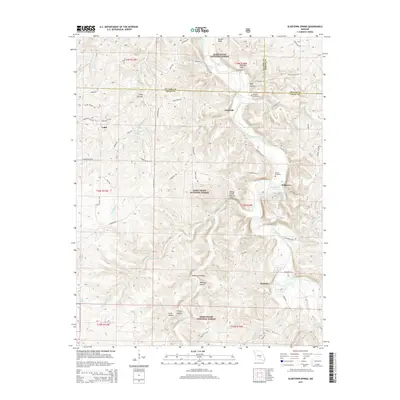
 2012 Slabtown Spring2012 Print · USGSCovers Edanville, including Hazleton, Slabtown, and other nearby areas
 - 2015 Map of Slabtown Spring, 2015 Print
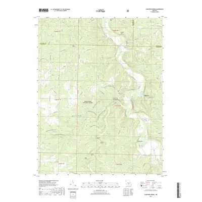
 2015 Slabtown Spring2015 Print · USGSCovers Edanville, including Hazleton, Slabtown, and other nearby areas
 - 2017 Map of Slabtown Spring, 2017 Print
 2017 Slabtown Spring2017 Print · USGSCovers Edanville, including Hazleton, Slabtown, and other nearby areas
 - 2021 Map of Slabtown Spring, 2021 Print
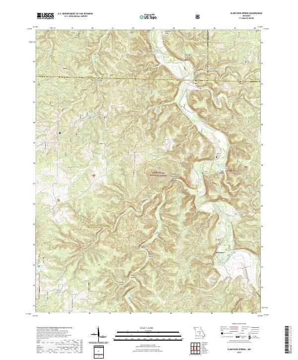 2021 Slabtown Spring2021 Print · USGSTexas County and the surrounding Ozark woodlands are shown here in the early 2020s, centered on the Big Piney River corridor. Genealogists and hikers can trace local landmarks like Omalley Cem, the site of Baldridge School, and the Paddy Creek Natural Arch.
End of results
Showing maps 1-5 of 5
Top cities near Edanville
- Saint Robert historical maps
- Waynesville historical maps
- Sherrill historical maps
- Roubidoux historical maps
- Licking historical maps
- Upton historical maps
See more
Frequently asked questions
- What are the different types of historical maps available for Edanville?
- What is the oldest map of Edanville?
- Where can I purchase historical maps of Edanville for my home or office?
- Where can I download high-res historical maps of Edanville?
- Are there historical topographic maps available for Edanville?
- Is there historical aerial imagery available for Edanville?
- Where are historical maps of Edanville sourced from?