Old Maps of Worth, Missouri for Metal Detecting
Plan your next treasure hunt with 11 historic maps of Worth. Find old homesites, ghost towns, trails, and gathering spots that may be lost to time — perfect for identifying promising metal detecting locations.
- Locate forgotten sites: Uncover places like long-lost settlements, abandoned rail lines, or gathering spots.
- Plan better hunts: Use map overlays combined with LiDAR or satellite views to narrow in on historically rich areas.
- Made for detectorists: Thousands of hobbyists use these maps to discover relics, coins, and hidden history.
Use these historic maps to boost your research and find new opportunities beneath the surface of Worth.
Worth, MO maps
(11)- 1942 Map of Grant City
 1942 Grant City1942 Print · USGSNorthwest Missouri's river valleys and rail lines defined community life in the early 1940s as rural farmsteads flourished between the forks of the Grand River. Researchers can trace family history through dozens of local landmarks like Smithton Sch, Wharton Cem, and the village of Allendale.
 - 1943 Map of Grant City
 1943 Grant City1943 Print · USGSNorthwest Missouri thrived as a landscape of small farms and crossroads schoolhouses in the early 1940s. Genealogists and local historians can trace family roots through dozens of rural sites like Hugginsville Sch, New Friendship Ch, and the Chicago Burlington and Quincy RR.3 unique versions available
 - 1955 Map of Nebraska City, 1967 Print
 1955 Nebraska City1967 Print · USGSThe four-state region surrounding the Missouri River valley appears here in the mid-1950s, a landscape of rail-dependent market towns and rural school districts. Genealogists can locate family landmarks like the Rock Bluff School, St Oswald Church, and the Clarinda State Hospital.3 unique versions available
 - 1957 Map of Nebraska City
 1957 Nebraska City1957 Print · USGSThe four-state junction of Nebraska, Iowa, Missouri, and Kansas comes alive in this mid-fifties survey of the Missouri River valley. Genealogists and historians can trace the rail-and-road networks connecting Nebraska City, Maryville, and the Squaw Creek National Wildlife Refuge.
 - 1958 Map of Nebraska City
 1958 Nebraska City1958 Print · USGSThe Missouri River Valley and its fertile four-state borderlands are captured here during the mid-century expansion of the regional highway and rail networks. Genealogists can trace family roots through numerous rural landmarks like Moulton School, Shady Grove Church, and the Clarinda State Hospital.
 - 1984 Map of Grant City, 1985 Print
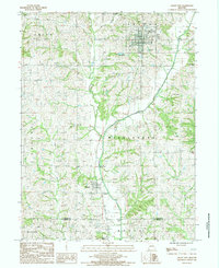 1984 Grant City1985 Print · USGSGrant City and the surrounding rural townships of Worth County are captured in the mid-1980s just as the regional rail landscape was shifting. Genealogists and historians can trace an Old Railroad Grade and find family plots at several local Cem sites near Worth.
 - 1986 Map of Maryville
 1986 Maryville1986 Print · USGSNorthwest Missouri's agricultural heartland is documented here in the mid-1980s, from the campus at Northwest Missouri State University to the Grand River valley. Genealogists can trace family footprints across dozens of local burial grounds like Alanthus Grove Cem and Brooklyn Cem.2 unique versions available
 - 2012 Map of Grant City, 2012 Print
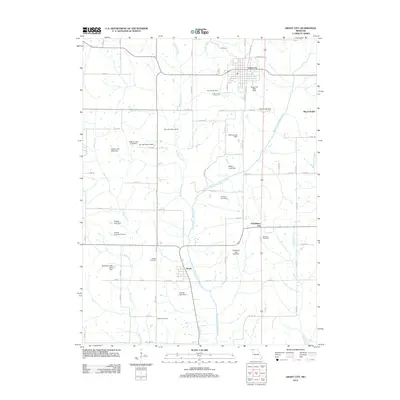 2012 Grant City2012 Print · USGSThis rural Missouri landscape in the early twenty-first century centers on the hub of Grant City and the winding Middle Fork Grand River. Genealogists and historians can locate several family burial sites like Smithton Cemetery and Adkins Cemetery, or trace the tiny settlement of Prohibition City.
 - 2014 Map of Grant City, 2014 Print
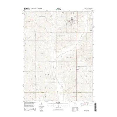 2014 Grant City2014 Print · USGSWorth County at the start of the 2010s shows a landscape of river-carved valleys and established agricultural grids. Researchers can trace family history through several rural burial sites like Smithton and Adkins, or locate the settlements of Worth and Prohibition City.
 - 2017 Map of Grant City, 2017 Print
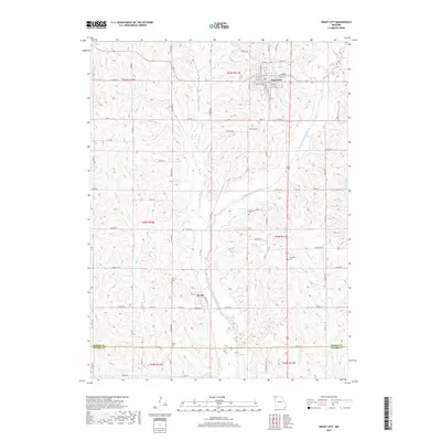 2017 Grant City2017 Print · USGSNorthern Missouri agriculture and small-town life are centered around Grant City and the Middle Fork Grand River in this modern survey. Genealogists and local historians can locate several rural burial sites, such as Smithton Cem, Barnes Cem, and Adkins Cem.
 - 2021 Map of Grant City, 2021 Print
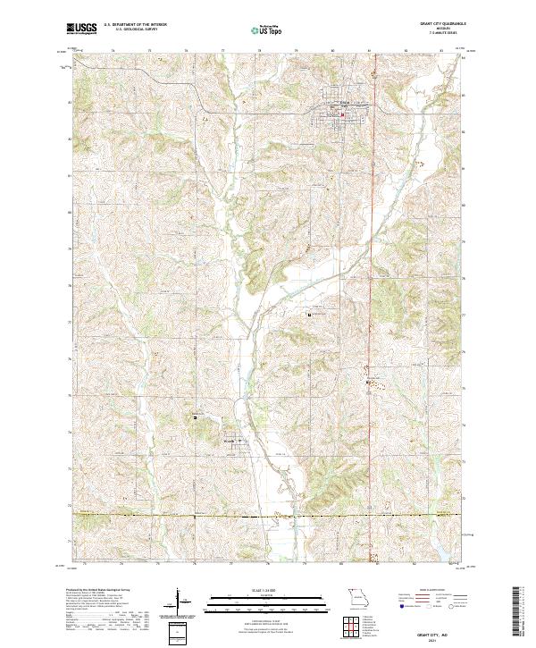 2021 Grant City2021 Print · USGSGrant City and the rural uplands of northern Missouri are captured here in the early twenty-first century. Researchers can trace ancestral locations near the Worth County Courthouse or locate family plots at Smithton Cem and Barnes Cem.
End of results
Showing maps 1-11 of 11
Top cities near Worth
- Albany historical maps
- Stanberry historical maps
- Grant City historical maps
- Ravenwood historical maps
- Parnell historical maps
- Sheridan historical maps
See more
Frequently asked questions
- What are the different types of historical maps available for Worth?
- What is the oldest map of Worth?
- Where can I purchase historical maps of Worth for my home or office?
- Where can I download high-res historical maps of Worth?
- Are there historical topographic maps available for Worth?
- Is there historical aerial imagery available for Worth?
- Where are historical maps of Worth sourced from?