Old Maps of Hildreth, Montana
Explore 11 old maps of Hildreth, spanning from 1955 to today. These high-resolution historic maps reveal how streets, neighborhoods, landmarks, and natural features evolved over time — perfect for genealogy, metal detecting, research, and local history exploration.
What you can do with these maps:
- See how Hildreth changed over time: Compare historical maps to modern-day views to trace roads, homesites, rail lines & more.
- View detailed metadata: Each map includes creators, publishers, year, scale, and archive source.
- Overlay maps with satellite & LiDAR: Visualize the past alongside modern tools to explore terrain & human change.
- Trusted historical sources: Maps sourced from the USGS, Library of Congress, and other archives.
- Access maps your way: View online, download high-res files, or order prints for personal or research use.
Start exploring old maps of Hildreth to uncover forgotten places, hidden landmarks, and the deep history beneath your feet.
Hildreth, MT maps
(11)- 1955 Map of Dubois
 1955 Dubois1955 Print · USGSThe high desert and mountain passes of eastern Idaho and western Montana are captured here during the mid-fifties. Researchers can trace the Union Pacific rail line through Dubois or locate the National Reactor Testing Station.4 unique versions available
 - 1956 Map of Morrison Lake, 1958 Print
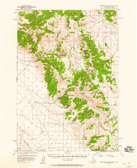 1956 Morrison Lake1958 Print · USGSThe high Lemhi Valley and the Bitterroot Range come into focus during the mid-fifties, mapping the remote border between Idaho and Montana. Researchers can trace early mountain access via the Continental Divide Trail and locate sites like Gilmore and the Shaft near the headwaters of Medicine Lodge Creek.3 unique versions available
 - 1958 Map of Dubois
 1958 Dubois1958 Print · USGSThe high divide between Idaho and Montana comes alive in this mid-century survey, from the mining camps of the Lemhi Range to the ranchlands of Centennial Valley. Trace historic operations at the Copper Queen Mine, the route of the Union Pacific RR, and the scientific work at the Sheep experimental station.2 unique versions available
 - 1980 Map of Leadore, 1996 Print
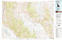 1980 Leadore1996 Print · USGSThe high mountain corridors of the Lemhi and Beaverhead ranges are captured here in the early 1980s. Local history researchers can trace the Old Railroad Grade past settlements like Leadore and Tendoy, or locate remote sites like the Copper Queen Mine and Chinatown.
 - 1987 Map of Tepee Mountain
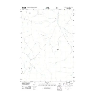
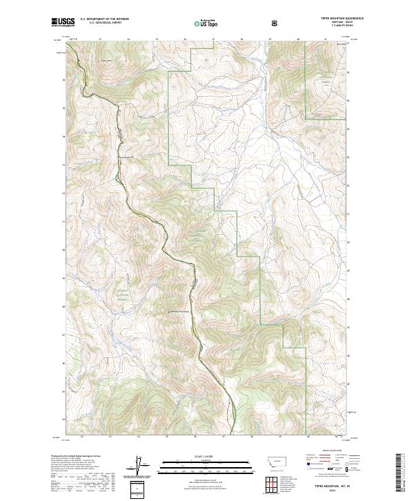
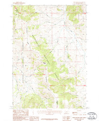 1987 Tepee Mountain1987 Print · USGSThe high ridges of the Montana-Idaho border are captured here in the 1980s as the Continental Divide cuts through the forest. Researchers can trace mineral exploration at a Prospect or Shaft and follow named drainages like Medicine Lodge Creek and Horsethief Creek.
 - 1997 Map of Tepee Mountain, 2002 Print
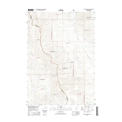
 1997 Tepee Mountain2002 Print · USGSThe Montana and Idaho borderlands come into focus in the late nineties, documenting the high-country divide between the Beaverhead and Salmon National Forests. Trace the Continental Divide National Scenic Trail and locate historic mining activity near Mine Shaft and Adits.
 - 2011 Map of Tepee Mountain, 2011 Print
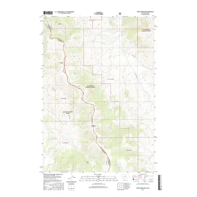
 2011 Tepee Mountain2011 Print · USGSCovers Hildreth, including Beaverhead County, Lemhi County, and other nearby areas
 - 2014 Map of Tepee Mountain, 2014 Print
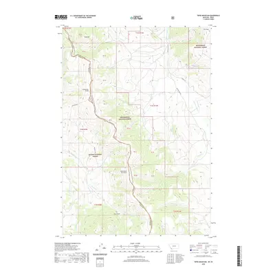
 2014 Tepee Mountain2014 Print · USGSCovers Hildreth, including Beaverhead County, Lemhi County, and other nearby areas
 - 2017 Map of Tepee Mountain, 2017 Print
 2017 Tepee Mountain2017 Print · USGSCovers Hildreth, including Beaverhead County, Lemhi County, and other nearby areas
 - 2020 Map of Tepee Mountain, 2020 Print
 2020 Tepee Mountain2020 Print · USGSCovers Hildreth, including Beaverhead County, Lemhi County, and other nearby areas
 - 2024 Map of Tepee Mountain, 2024 Print
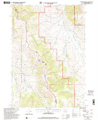
 2024 Tepee Mountain2024 Print · USGSHigh in the Beaverhead Mountains, this 2024 survey documents the rugged Idaho-Montana border where the Continental Divide meets two national forests. Trace the Continental Divide National Scenic Trl as it winds past Tepee Mtn and the headwaters of Medicine Lodge Creek.
End of results
Showing maps 1-11 of 11
Frequently asked questions
- What are the different types of historical maps available for Hildreth?
- What is the oldest map of Hildreth?
- Where can I purchase historical maps of Hildreth for my home or office?
- Where can I download high-res historical maps of Hildreth?
- Are there historical topographic maps available for Hildreth?
- Is there historical aerial imagery available for Hildreth?
- Where are historical maps of Hildreth sourced from?