
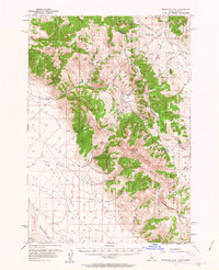
1956 Map of Morrison Lake
USGS Topo · Published 1958About this map
Idaho-Montana borderlands are defined here by the high ridgelines of the Continental Divide Trail, where the Salmon National Forest meets the Beaverhead National Forest. This mid-century survey captures the remote character of the Lemhi Valley and the surrounding peaks, including Baldy Mtn and Tepee Mtn. Evidence of early resource extraction and high-altitude navigation is visible through the notation of a Shaft near Medicine Lodge Creek and several Prospect sites scattered through the canyons. The presence of a Landing Strip near Morrison Creek and various Jeep Trails underscores the reliance on specialized transport in this steep terrain. Water management is sparse but critical, evidenced by the Morrison Lake and a Reservoir tucked into the high drainages near Erickson Creek.
Find a feature on this map
54 named features on this map. Tap any name to fly to it.
Don’t see what you’re looking for? This feature index may not catch every label — zoom into the map to look around manually.
Map Details
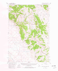
Editions of this 1956 Morrison Lake Map
3 editions found
Other maps of this area

1955 · Dubois
USGS Topo · 1:250,000

1956 · Leadore
USGS Topo · 1:62,500

1956 · Nicholia
USGS Topo · 1:62,500

1957 · Gilmore
USGS Topo · 1:62,500

1957 · Scott Peak
USGS Topo · 1:62,500

1958 · Dubois
USGS Topo · 1:250,000

1965 · Deadman Pass
USGS Topo · 1:24,000

1965 · Graphite Mountain
USGS Topo · 1:24,000

1965 · Deer Canyon
USGS Topo · 1:24,000

1965 · Bannock Pass
USGS Topo · 1:24,000