
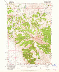
1957 Map of Scott Peak
USGS Topo · Published 1959About this map
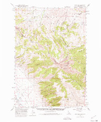
The Continental Divide forms a high-altitude spine across this section of the Beaverhead Mountains, marking the rugged boundary between Idaho and Montana in the late 1950s. The landscape is defined by massive peaks, including Scott Peak and Webber Peak, and is bisected by the Birch Creek Valley to the southwest. Human activity is concentrated in pockets of industry and transit, such as the prospect near Smelter Gulch and the high mountain crossing at Bannack Pass.
Find a feature on this map
52 named features on this map. Tap any name to fly to it.
Don’t see what you’re looking for? This feature index may not catch every label — zoom into the map to look around manually.
Map Details
Editions of this 1957 Scott Peak Map
3 editions found
Other maps of this area

1955 · Dubois
USGS Topo · 1:250,000

1956 · Morrison Lake
USGS Topo · 1:62,500

1956 · Nicholia
USGS Topo · 1:62,500

1957 · Diamond Peak
USGS Topo · 1:62,500

1957 · Edie Ranch
USGS Topo · 1:62,500

1958 · Dubois
USGS Topo · 1:250,000

1965 · Caboose Canyon
USGS Topo · 1:24,000

1965 · Gallagher Gulch
USGS Topo · 1:24,000

1965 · Island Butte
USGS Topo · 1:24,000

1969 · Shamrock Gulch
USGS Topo · 1:24,000