
1957 Map of Edie Ranch
USGS Topo · Published 1959About this map
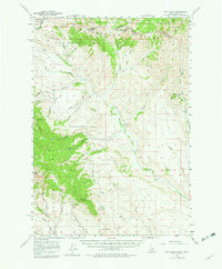
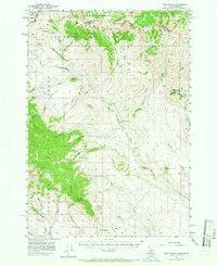
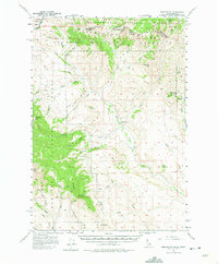
The Continental Divide defines the high ridgeline where the Beaverhead Mountains form the border between Idaho and Montana in the late 1950s. This high-altitude landscape is split between the Beaverhead National Forest and Targhee National Forest, featuring towering summits like Heart Mtn and the Red Conglomerate Peaks. The map records a transition from these steep peaks to the drainage basins below, where Medicine Lodge Creek and Lodge Creek provide critical water sources for the remote Edie Ranch. A network of canyons and gulches, including Cole Canyon and McNeary Gulch, reveals the complex hydrology of the region. Local springs such as Robertson Spring and Big Spring serve as important landmarks for navigation through the mountainous terrain.
Find a feature on this map
73 named features on this map. Tap any name to fly to it.
Don’t see what you’re looking for? This feature index may not catch every label — zoom into the map to look around manually.
Map Details
Editions of this 1957 Edie Ranch Map
4 editions found
Other maps of this area

1955 · Dubois
USGS Topo · 1:250,000

1957 · Paul Reservoir
USGS Topo · 1:62,500

1957 · Scott Peak
USGS Topo · 1:62,500

1958 · Dubois
USGS Topo · 1:250,000

1964 · Small
USGS Topo · 1:24,000

1965 · Caboose Canyon
USGS Topo · 1:24,000

1965 · Gallagher Gulch
USGS Topo · 1:24,000

1965 · Lima Peaks
USGS Topo · 1:24,000

1968 · Snowline
USGS Topo · 1:24,000

1969 · Shamrock Gulch
USGS Topo · 1:24,000