
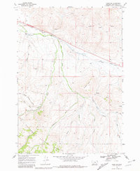
1968 Map of Snowline
USGS Topo · Published 1972About this map
Union Pacific rail lines cut through this high-altitude landscape in the late 1960s, following the drainage of Snowline Creek toward the Snowline Ranch. The map captures a transition from the industrial utility of the railroad and scattered Gravel Pits to the preserved wilderness of the Beaverhead National Forest. This southern Montana terrain is defined by a complex network of watercourses, including Big Beaver Creek and its various branches, which flow around the prominent landmark of Diamond Butte. The distribution of creek names like Shineberger Creek and Junction Creek reflects a history of local land use and geographic navigation in a region where water sources and topographic breaks dictated the placement of ranching outposts and transportation corridors.
Find a feature on this map
18 named features on this map. Tap any name to fly to it.
Don’t see what you’re looking for? This feature index may not catch every label — zoom into the map to look around manually.
Map Details
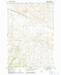
Editions of this 1968 Snowline Map
3 editions found
Other maps of this area

1955 · Dubois
USGS Topo · 1:250,000

1957 · Paul Reservoir
USGS Topo · 1:62,500

1957 · Edie Ranch
USGS Topo · 1:62,500

1958 · Dubois
USGS Topo · 1:250,000

1965 · Lima
USGS Topo · 1:24,000

1965 · Lima Peaks
USGS Topo · 1:24,000

1968 · Lima Dam
USGS Topo · 1:24,000

1968 · Monida
USGS Topo · 1:24,000

1968 · Henry Gulch
USGS Topo · 1:24,000

1983 · Dubois
USGS Topo · 1:100,000