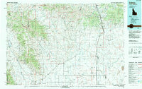
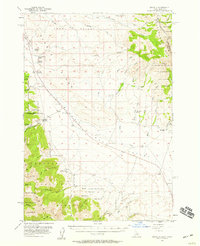
1983 Map of Dubois
USGS Topo · Published 1983About this map
Dubois stands as the primary hub along the eastern edge of this 1983 survey, situated where the high desert plains meet the rising foothills. The landscape is dominated by the Continental Divide, which follows the Montana Idaho Divide along the northern border, carving a path through the Beaverhead National Forest and Targhee National Forest. In the lower elevations, the expansive Dutch Flat and the northern reaches of the Idaho National Engineering Laboratory reveal the region's mid-century institutional and scientific footprint.
Find a feature on this map
89 named features on this map. Tap any name to fly to it.
Don’t see what you’re looking for? This feature index may not catch every label — zoom into the map to look around manually.
Map Details
Editions of this 1983 Dubois Map
This is the sole edition of this map. No revisions or reprints were ever made.
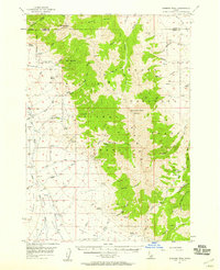
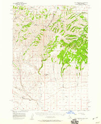
Other maps of this area
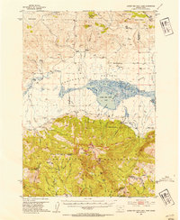
1950 · Lower Red Rock Lake
USGS Topo · 1:62,500
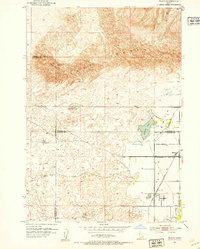
1951 · Plano
USGS Topo · 1:24,000

1955 · Dubois
USGS Topo · 1:250,000

1955 · Idaho Falls
USGS Topo · 1:250,000

1955 · Ashton
USGS Topo · 1:250,000

1955 · Driggs
USGS Topo · 1:250,000
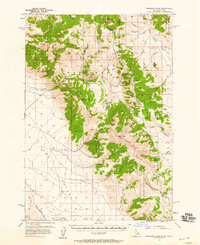
1956 · Morrison Lake
USGS Topo · 1:62,500
1956 · Nicholia
USGS Topo · 1:62,500
1957 · Diamond Peak
USGS Topo · 1:62,500
1957 · Paul Reservoir
USGS Topo · 1:62,500