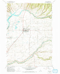
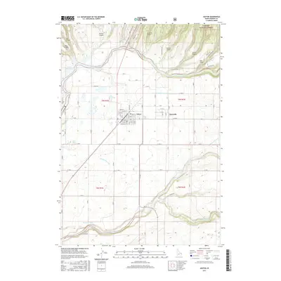
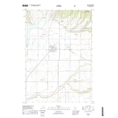
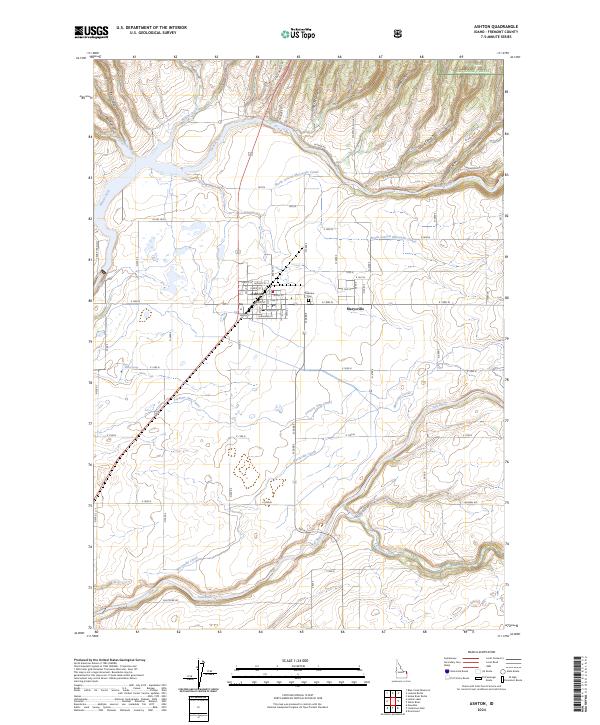
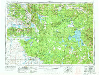
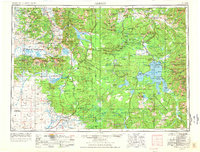
1955 Map of Ashton
USGS Topo · Published 1967About this map
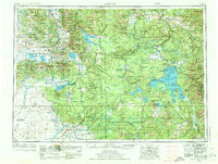
The Continental Divide winds through this mid-century landscape, separating the massive high-altitude drainages of the Northern Rockies. This region is defined by the intersection of Yellowstone National Park and the surrounding wilderness of the Targhee National Forest and Gallatin National Forest. While the vast eastern portion is dominated by the hydrothermal and volcanic features of the Madison Plateau and Pitchstone Plateau, the southwest corner reveals the agricultural footprint of the Snake River Plain. Settlements like Ashton, Marysville, and Grainville sit at the edge of the wilderness, supported by the Union Pacific rail line and the waters of the Henry's Fork. The map also details early recreation and transport hubs near West Yellowstone and the extensive waters of Hebgen Lake and Yellowstone Lake, capturing a period before modern development altered these remote borderlands of Idaho, Montana, and Wyoming.
Find a feature on this map
39 named features on this map. Tap any name to fly to it.
Don’t see what you’re looking for? This feature index may not catch every label — zoom into the map to look around manually.
Map Details
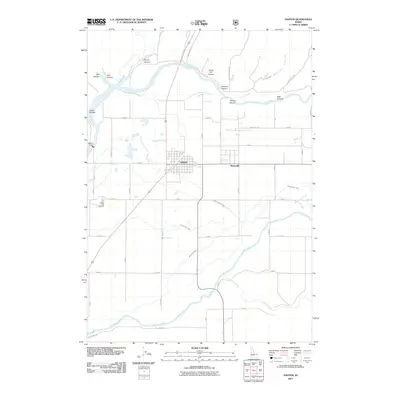
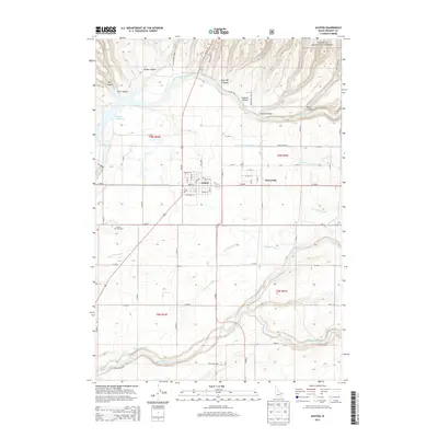
Editions of this 1955 Ashton Map
4 editions found
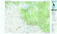
Historical Maps of West Yellowstone Through Time
10 maps found