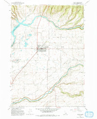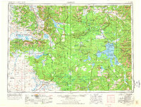
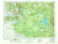
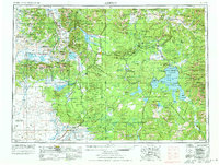
1955 Map of Ashton
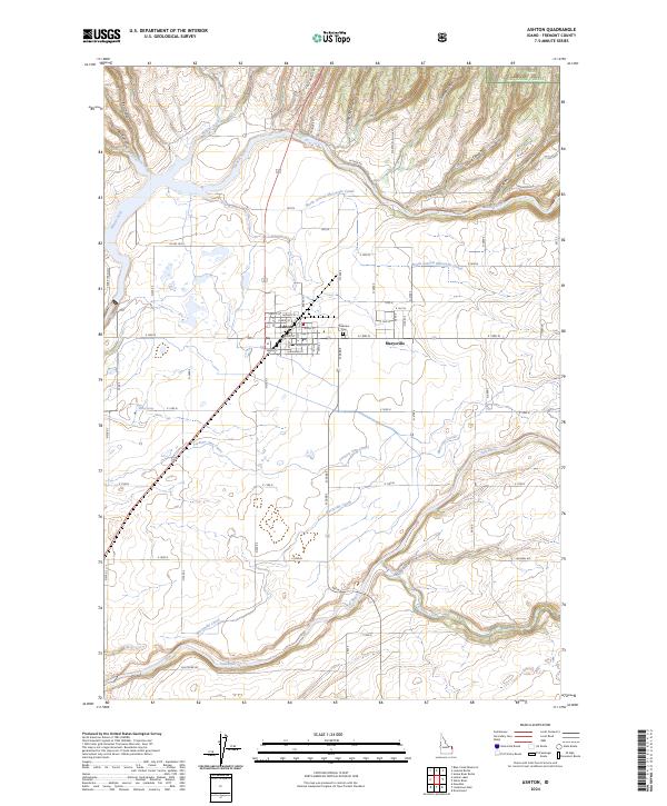
USGS Topo · Published 1978About this map
Ashton and its surrounding high-altitude landscapes are documented here at a time of established federal land management and seasonal recreation in the mid-1950s. The regional transit network is defined by the Union Pacific railroad and a grid of secondary roads connecting small agricultural settlements like Drummond, Marysville, and Squirrel in the southwest. The Continental Divide zigzags across the sheet, separating the drainages of the Madison River and Gallatin River from the Falls River and Snake River basins. This survey captures the vast expanse of Yellowstone National Park and the Targhee National Forest before more modern infrastructure changes. Of particular interest to local historians is the concentration of small post offices and communities along the rail lines and rivers, such as Grainville and Idmon, providing a clear record of rural settlement patterns in this corner of the Rockies during the mid-century era.
Find a feature on this map
50 named features on this map. Tap any name to fly to it.
Don’t see what you’re looking for? This feature index may not catch every label — zoom into the map to look around manually.
Map Details
Editions of this 1955 Ashton Map
4 editions found

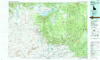
Historical Maps of West Yellowstone Through Time
10 maps found