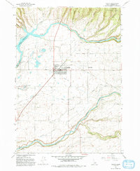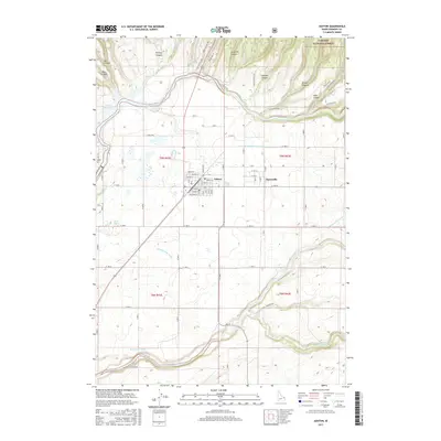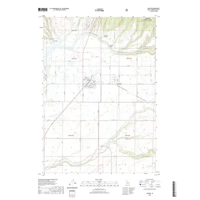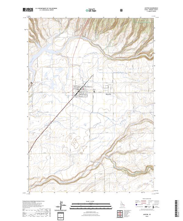
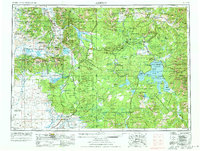
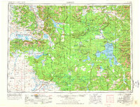
1955 Map of Ashton
USGS Topo · Published 1973About this map
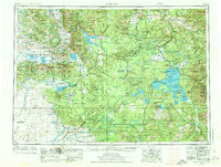
Yellowstone National Park dominates this mid-century survey, capturing the complex geothermal and hydrological systems of the plateau before modern developments reshaped its visitor infrastructure. The map details the vast reach of Yellowstone Lake and the high-elevation basins of Shoshone Lake and Heart Lake, while marking the geyser basins near Old Faithful and the terraces of Mammoth Hot Springs. Beyond the park boundaries, the Continental Divide snakes through the Centennial Mountains and Targhee National Forest, illustrating the dramatic relief of the Teton Range to the south. Local agriculture and rail transport are centered around the Union Pacific line through Ashton and Marysville, where the Henry's Fork and Falls River provide critical water resources for the high-altitude farming communities of Fremont County.
Find a feature on this map
75 named features on this map. Tap any name to fly to it.
Don’t see what you’re looking for? This feature index may not catch every label — zoom into the map to look around manually.
Map Details
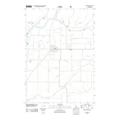
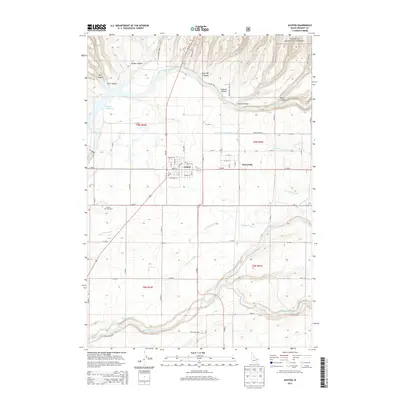
Editions of this 1955 Ashton Map
4 editions found

Historical Maps of West Yellowstone Through Time
10 maps found