
1956 Map of Nicholia
USGS Topo · Published 1959About this map
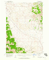
The Continental Divide forms the northeastern boundary of this 1950s terrain, where the high ridges of the Beaverhead Mts and Lemhi Range descend into the broad Birch Creek Valley. The landscape reflects a history of extraction and mountain passage, notably marked by the Old RR Grade cutting through the valley floor and the remains of the Hahn (Site) near Quartzite Canyon. Small-scale industrial activity is evident through numerous prospects and kilns located in the foothills, particularly near Coal Kiln Canyon, pointing to a time when local timber and ore fueled the regional economy.
Find a feature on this map
66 named features on this map. Tap any name to fly to it.
Don’t see what you’re looking for? This feature index may not catch every label — zoom into the map to look around manually.
Map Details
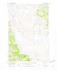
Editions of this 1956 Nicholia Map
3 editions found
Other maps of this area

1955 · Dubois
USGS Topo · 1:250,000

1956 · Leadore
USGS Topo · 1:62,500

1956 · Morrison Lake
USGS Topo · 1:62,500

1957 · Diamond Peak
USGS Topo · 1:62,500

1957 · Gilmore
USGS Topo · 1:62,500

1957 · Scott Peak
USGS Topo · 1:62,500

1957 · Hawley Mountain
USGS Topo · 1:62,500

1958 · Dubois
USGS Topo · 1:250,000

1965 · Island Butte
USGS Topo · 1:24,000
1969 · Blue Dome
USGS Topo · 1:24,000