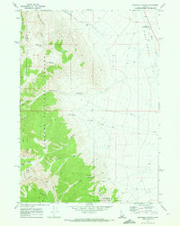
1969 Map of Blue Dome
USGS Topo · Published 1973About this map
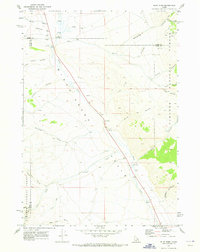
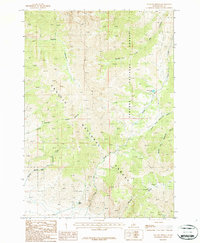
Birch Creek Valley dominates this high-altitude landscape where the borders of Clark, Lemhi, and Butte counties converge. The 1969 field survey records a region defined by its rugged drainages and sparse high-country outposts, including the Kaufman Guard Station and the namesake Blue Dome. Running southeast through the center of the sheet, Birch Creek serves as the primary corridor for movement, flanked by the steep slopes of the Targhee National Forest to the east. Local history and genealogy interest is anchored by the John Day Grave located near the southern reach of the valley, while the presence of a Mine and Gravel Pit near Worthing Gulch points to the small-scale extractive efforts of the era. The terrain is deeply incised by numerous canyons, most notably Skull Canyon, Bruce Canyon, and Sawmill Canyon, which historically provided routes into the surrounding peaks like Bald Mtn.
Find a feature on this map
31 named features on this map. Tap any name to fly to it.
Don’t see what you’re looking for? This feature index may not catch every label — zoom into the map to look around manually.
Map Details
Editions of this 1969 Blue Dome Map
This is the sole edition of this map. No revisions or reprints were ever made.
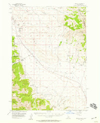
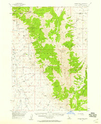
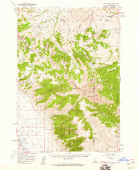
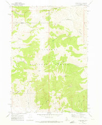
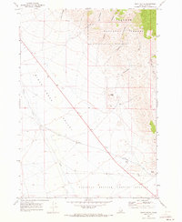
Other maps of this area

1955 · Dubois
USGS Topo · 1:250,000
1956 · Nicholia
USGS Topo · 1:62,500
1957 · Diamond Peak
USGS Topo · 1:62,500
1957 · Scott Peak
USGS Topo · 1:62,500

1958 · Dubois
USGS Topo · 1:250,000
1969 · Eightmile Canyon
USGS Topo · 1:24,000
1969 · Copper Mtn
USGS Topo · 1:24,000
1969 · Scott Butte
USGS Topo · 1:24,000
1983 · Dubois
USGS Topo · 1:100,000
1987 · Fallert Springs
USGS Topo · 1:24,000