
1969 Map of Shamrock Gulch
USGS Topo · Published 1973About this map
Targhee National Forest dominates this Clark County landscape, defined by the prominent central elevation of Horse Ridge and the winding course of Crooked Creek. The 1969 field survey details a remote mountain environment where water sources like Upper Crystal Spring, Lower Crystal Spring, and Shamrock Spring were vital for the high-altitude range. Evidence of human presence is sparse but specific, including a Water Tank and a noted site of Graves near the base of Shamrock Gulch. Deep drainages such as Nicholia Canyon and Black Horse Canyon carve the terrain, while Maud Mountain stands as a landmark in the northeast. The map illustrates a network of primitive transportation, including a Jeep Trail that navigates the complex system of gulches and canyons.
Find a feature on this map
27 named features on this map. Tap any name to fly to it.
Don’t see what you’re looking for? This feature index may not catch every label — zoom into the map to look around manually.
Map Details
Editions of this 1969 Shamrock Gulch Map
This is the sole edition of this map. No revisions or reprints were ever made.
Other maps of this area

1955 · Dubois
USGS Topo · 1:250,000

1957 · Scott Peak
USGS Topo · 1:62,500

1957 · Edie Ranch
USGS Topo · 1:62,500

1958 · Dubois
USGS Topo · 1:250,000

1969 · Lidy Hot Springs SE
USGS Topo · 1:24,000

1969 · Copper Mtn
USGS Topo · 1:24,000

1969 · Lidy Hot Springs
USGS Topo · 1:24,000
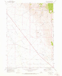
1969 · Scott Butte
USGS Topo · 1:24,000
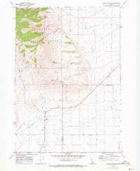
1969 · Snaky Canyon
USGS Topo · 1:24,000

1983 · Dubois
USGS Topo · 1:100,000