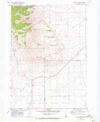
1969 Map of Snaky Canyon
USGS Topo · Published 1973About this map
Targhee National Forest defines the northern reaches of this Idaho landscape, where the terrain is carved by steep drainages like North Fork Snaky Canyon and Kelly Canyon. This late-1960s survey documents a transition from the mountainous timberlands down to the flatter southern plains, which are occupied by the expansive National Reactor Testing Station. Human activity is concentrated along the base of the mountains, evidenced by the Reno Ranch and a network of Jeep Trails navigating the foothills near Rattlesnake Point. The boundary between Clark and Jefferson Counties bisects the lower half of the map, separating the public forest lands from the government testing facility. Evidence of local infrastructure is sparse but specific, including a Ditch and several Borrow Pits near the southern boundary.
Find a feature on this map
14 named features on this map. Tap any name to fly to it.
Don’t see what you’re looking for? This feature index may not catch every label — zoom into the map to look around manually.
Map Details
Editions of this 1969 Snaky Canyon Map
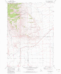
2 editions found
Other maps of this area

1955 · Dubois
USGS Topo · 1:250,000

1955 · Idaho Falls
USGS Topo · 1:250,000

1958 · Dubois
USGS Topo · 1:250,000

1958 · Idaho Falls
USGS Topo · 1:250,000

1969 · Shamrock Gulch
USGS Topo · 1:24,000

1969 · Lidy Hot Springs SE
USGS Topo · 1:24,000

1969 · Circular Butte NW
USGS Topo · 1:24,000

1969 · Richard Butte
USGS Topo · 1:24,000

1969 · Copper Mtn
USGS Topo · 1:24,000

1969 · Lidy Hot Springs
USGS Topo · 1:24,000