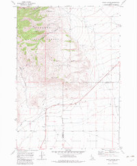
1969 Map of Snaky Canyon
USGS Topo · Published 1983About this map
Targhee National Forest and the National Reactor Testing Station meet in this 1969 survey of high-desert terrain. The landscape is defined by the transition from the steep drainages of North Fork Snaky Canyon, Kelly Canyon, and Corral Canyon in the north to the flatter sagebrush basins of the south. Evidence of local ranching and water management is visible at Reno Ranch, which is supported by the Reno Ditch and a series of wells.
Find a feature on this map
14 named features on this map. Tap any name to fly to it.
Don’t see what you’re looking for? This feature index may not catch every label — zoom into the map to look around manually.
Map Details
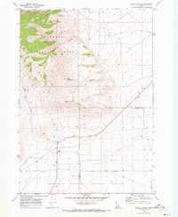
Editions of this 1969 Snaky Canyon Map
2 editions found
Other maps of this area

1955 · Dubois
USGS Topo · 1:250,000

1955 · Idaho Falls
USGS Topo · 1:250,000

1958 · Dubois
USGS Topo · 1:250,000

1958 · Idaho Falls
USGS Topo · 1:250,000

1969 · Shamrock Gulch
USGS Topo · 1:24,000

1969 · Lidy Hot Springs SE
USGS Topo · 1:24,000

1969 · Circular Butte NW
USGS Topo · 1:24,000

1969 · Richard Butte
USGS Topo · 1:24,000

1969 · Copper Mtn
USGS Topo · 1:24,000

1969 · Lidy Hot Springs
USGS Topo · 1:24,000