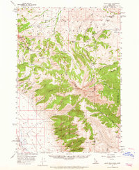
1957 Map of Scott Peak
USGS Topo · Published 1965About this map
Beaverhead Mountains and the Continental Divide dominate this mid-century survey along the Idaho-Montana border. The landscape is defined by the high elevations of Scott Peak and Webber Peak, with a network of deep drainage systems like Italian Canyon and Eidelman Canyon carving through the terrain. In the lower elevations of the Birch Creek Valley, small hubs of activity like Reno and Nicholia represent the sparse settlement of the era, connected by primitive routes such as the Italian Canyon Trail and various unnamed jeep trails. Local history is visible in the presence of a Cem near Reno and a Prospect in the northwestern gulches. The survey also captures the intersections of the Beaverhead National Forest and Salmon National Forest, showing how land management and high-country geography converged during this period.
Find a feature on this map
66 named features on this map. Tap any name to fly to it.
Don’t see what you’re looking for? This feature index may not catch every label — zoom into the map to look around manually.
Map Details
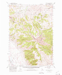
Editions of this 1957 Scott Peak Map
3 editions found
Other maps of this area

1955 · Dubois
USGS Topo · 1:250,000

1956 · Morrison Lake
USGS Topo · 1:62,500

1956 · Nicholia
USGS Topo · 1:62,500

1957 · Diamond Peak
USGS Topo · 1:62,500

1957 · Scott Peak
USGS Topo · 1:62,500

1957 · Edie Ranch
USGS Topo · 1:62,500

1958 · Dubois
USGS Topo · 1:250,000

1965 · Caboose Canyon
USGS Topo · 1:24,000

1965 · Gallagher Gulch
USGS Topo · 1:24,000

1965 · Island Butte
USGS Topo · 1:24,000