Old Maps of Wisdom, Montana for Academic Research
Study the evolution of Wisdom with 13 high-resolution historic maps. Whether you're teaching, researching, or modeling changes in land use, these maps provide essential visual documentation of urban, environmental, and geographic change.
- Analyze long-term change: Track patterns in development, transportation, and natural features.
- Ideal for environmental or urban studies: Support academic projects with primary historical map data.
- Use in the classroom or lab: Educators and researchers rely on these maps to bring historical context to life.
These maps are a powerful tool for teaching, research, and visualizing how Wisdom has changed over the decades.
Wisdom, MT maps
(13)- 1955 Map of Dillon, 1978 Print
 1955 Dillon1978 Print · USGSSouthwest Montana at the dawn of the interstate era reveals a landscape of high-mountain ranching and historic mining camps. Trace the routes of the Union Pacific through Dillon and Armstead, or locate early settlements like Bannack and Wisdom.2 unique versions available
 - 1957 Map of Dillon
 1957 Dillon1957 Print · USGSSouthwest Montana and Idaho in the mid-fifties reveal a high-country landscape of mountain ranges and ranching valleys. Genealogists can trace family holdings and rail stops along the Union Pacific Railroad, from Dillon to historic Virginia City and Twin Bridges.
 - 1958 Map of Dillon
 1958 Dillon1958 Print · USGSSouthwestern Montana during the late fifties reveals a high-country landscape defined by the Continental Divide and a legacy of mountain mining. Genealogists and historians can trace rail lines like the Union Pacific or locate early industrial sites including the Hecla Mine and Ermont Mine.
 - 1962 Map of Dillon
 1962 Dillon1962 Print · USGSSouthwest Montana in the early sixties is defined by its high mountain ranges and the winding rivers that carved its settlement patterns. Trace the rail routes of the Union Pacific through Dillon or locate mining activity near Butte and Argenta.
 - 1962 Map of Wisdom, 1964 Print
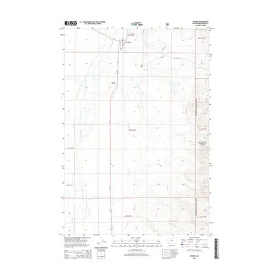
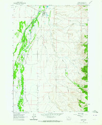 1962 Wisdom1964 Print · USGSThe community of Wisdom stands at the junction of the Big Hole valley and the high forest during the early sixties. Genealogists and historians can trace local landmarks like the Wisdom Airport, the Ranger Station, and the remote Clara Mine near Dry Gulch.2 unique versions available
 - 1965 Map of Dillon
 1965 Dillon1965 Print · USGSSouthwest Montana in the mid-1960s is defined by its rugged river valleys and high mountain passes along the Continental Divide. Researchers can trace the path of the Union Pacific through Dillon and Armstead, or locate early mining activity near Melrose and Wise River.
 - 1994 Map of Wisdom
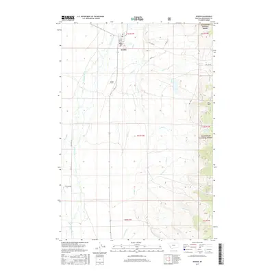
 1994 Wisdom1994 Print · USGSThe high mountain valleys of Southwest Montana and East Idaho come alive in the mid-1990s as the Big Hole River meanders toward the Continental Divide. Trace the grounds of the Big Hole National Battlefield or locate remote settlements like Wisdom and Gibbonsville.2 unique versions available
 - 1997 Map of Wisdom, 2002 Print
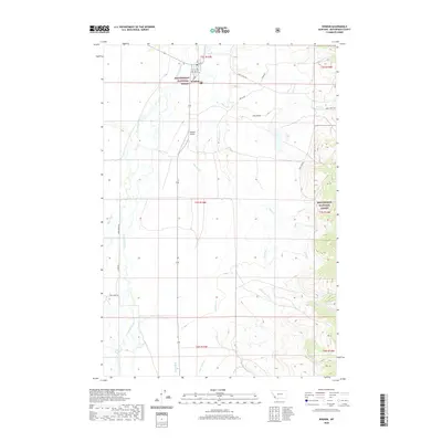
 1997 Wisdom2002 Print · USGSThe Big Hole Valley comes into focus in the late 1990s, where ranching legacies and the Lewis and Clark National Historic Trail meet. Researchers can trace family landmarks like Clapp Ranch and M Clemow alongside the Clara Mine.
 - 2011 Map of Wisdom, 2011 Print
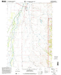
 2011 Wisdom2011 Print · USGSCovers Wisdom, including Beaverhead County, United States, and other nearby areas
 - 2014 Map of Wisdom, 2014 Print
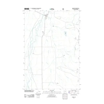
 2014 Wisdom2014 Print · USGSCovers Wisdom, including Beaverhead County, United States, and other nearby areas
 - 2017 Map of Wisdom, 2017 Print
 2017 Wisdom2017 Print · USGSCovers Wisdom, including Beaverhead County, United States, and other nearby areas
 - 2020 Map of Wisdom, 2020 Print
 2020 Wisdom2020 Print · USGSCovers Wisdom, including Beaverhead County, United States, and other nearby areas
 - 2024 Map of Wisdom, 2024 Print
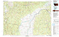
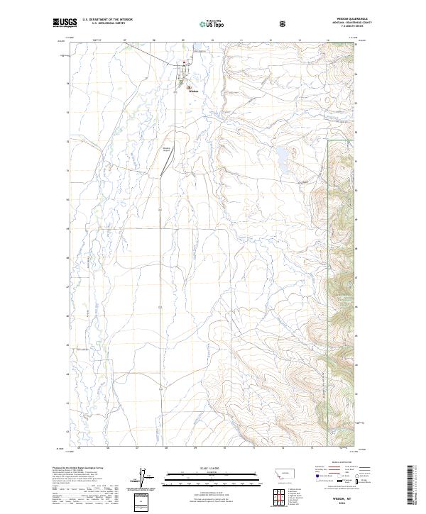 2024 Wisdom2024 Print · USGSThe high Big Hole Valley and the settlement of Wisdom appear in this modern survey. Genealogists and historians can trace the local water rights and land use through Miller Ditch, the Big Hole River, and the Beaverhead National Forest boundary.
End of results
Showing maps 1-13 of 13
Frequently asked questions
- What are the different types of historical maps available for Wisdom?
- What is the oldest map of Wisdom?
- Where can I purchase historical maps of Wisdom for my home or office?
- Where can I download high-res historical maps of Wisdom?
- Are there historical topographic maps available for Wisdom?
- Is there historical aerial imagery available for Wisdom?
- Where are historical maps of Wisdom sourced from?