Old Maps of Decker, Montana
Explore old maps of Decker, spanning from 1954 to today. These high-resolution historic maps reveal how streets, neighborhoods, landmarks, and natural features evolved over time — perfect for genealogy, metal detecting, research, and local history exploration.
What you can do with these maps:
- See how Decker changed over time: Compare historical maps to modern-day views to trace roads, homesites, rail lines & more.
- View detailed metadata: Each map includes creators, publishers, year, scale, and archive source.
- Overlay maps with satellite & LiDAR: Visualize the past alongside modern tools to explore terrain & human change.
- Trusted historical sources: Maps sourced from the USGS, Library of Congress, and other archives.
- Access maps your way: View online, download high-res files, or order prints for personal or research use.
Start exploring old maps of Decker to uncover forgotten places, hidden landmarks, and the deep history beneath your feet.
Decker, MT maps
- 1954 Map of Hardin, 1964 Print
 1954 Hardin1964 Print · USGSSoutheastern Montana is documented here during the mid-fifties, showing the vast tribal lands and historic battle sites before modern highway expansion. Researchers can trace the Chicago Burlington and Quincy rail line through Hardin or locate the Custer National Cemetery and Museum.2 unique versions available
 - 1957 Map of Hardin
 1957 Hardin1957 Print · USGSSoutheastern Montana in the mid-fifties reveals a landscape shaped by tribal lands and the historic Bighorn river valleys. Researchers can trace the Chicago Burlington and Quincy RR through Hardin and locate the National Cemetery and Custer Battlefield Monument.
 - 1958 Map of Hardin
 1958 Hardin1958 Print · USGSSoutheastern Montana in the mid-fifties presents a landscape defined by significant tribal lands and national monuments. Researchers can trace the geography of the Little Bighorn at Custer Battlefield National Monument and locate settlements like Lame Deer and Birney.
 - 1967 Map of Decker, 1971 Print
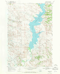 1967 Decker1971 Print · USGSBig Horn County ranching and mining land is documented here in the late sixties, just as industrial activity was shaping the Tongue River valley. Researchers can trace rural infrastructure from the Squirrel Creek Sch to the Tongue River Mine and the shoreline of the Tongue River Reservoir.2 unique versions available
 - 1980 Map of Birney
 1980 Birney1980 Print · USGSSoutheastern Montana enters a period of intensive energy development in the early 1980s as coal mines expand across the Big Horn County line. Researchers can trace the industrial footprints of the Spring Creek Mine and West Decker Mine or locate rural landmarks like the Birney Day School.
 - 2011 Map of Decker, 2011 Print
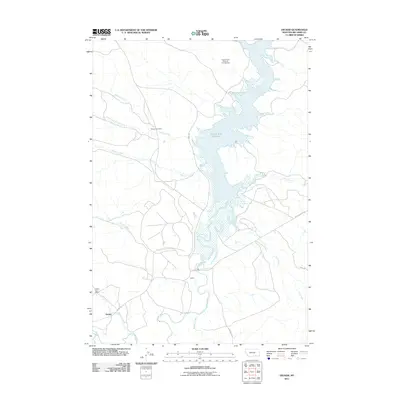 2011 Decker2011 Print · USGSCovers Decker, including Big Horn County, United States, and other nearby areas
 - 2014 Map of Decker, 2014 Print
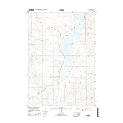 2014 Decker2014 Print · USGSCovers Decker, including Big Horn County, United States, and other nearby areas
 - 2017 Map of Decker, 2017 Print
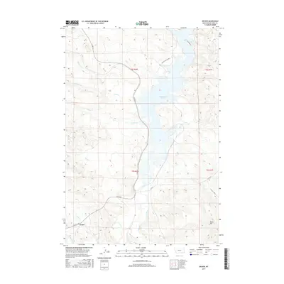 2017 Decker2017 Print · USGSCovers Decker, including Big Horn County, United States, and other nearby areas
 - 2020 Map of Decker, 2020 Print
 2020 Decker2020 Print · USGSCovers Decker, including Big Horn County, United States, and other nearby areas
 - 2024 Map of Decker, 2024 Print
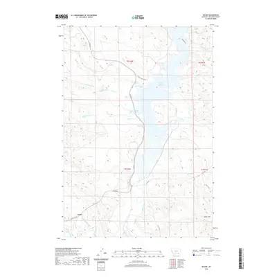
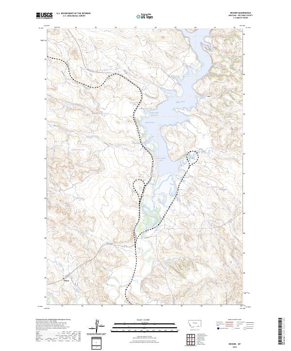 2024 Decker2024 Print · USGSDecker and the Tongue River valley are shown in the 2020s as they support the cattle and energy economy of Big Horn County. Researchers can trace the winding shoreline of the Tongue River Reservoir and locate local landmarks like the Badger Hills and Squirrel Creek.
End of results
Showing maps 1-10
Top cities near Decker
Frequently asked questions
- What are the different types of historical maps available for Decker?
- What is the oldest map of Decker?
- Where can I purchase historical maps of Decker for my home or office?
- Where can I download high-res historical maps of Decker?
- Are there historical topographic maps available for Decker?
- Is there historical aerial imagery available for Decker?
- Where are historical maps of Decker sourced from?