Old Maps of Old Ford Place, Montana for Academic Research
Study the evolution of Old Ford Place with 10 high-resolution historic maps. Whether you're teaching, researching, or modeling changes in land use, these maps provide essential visual documentation of urban, environmental, and geographic change.
- Analyze long-term change: Track patterns in development, transportation, and natural features.
- Ideal for environmental or urban studies: Support academic projects with primary historical map data.
- Use in the classroom or lab: Educators and researchers rely on these maps to bring historical context to life.
These maps are a powerful tool for teaching, research, and visualizing how Old Ford Place has changed over the decades.
Old Ford Place, MT maps
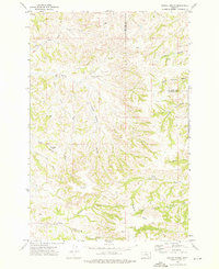
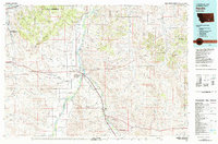
(10)- 1954 Map of Hardin, 1964 Print
 1954 Hardin1964 Print · USGSSoutheastern Montana is documented here during the mid-fifties, showing the vast tribal lands and historic battle sites before modern highway expansion. Researchers can trace the Chicago Burlington and Quincy rail line through Hardin or locate the Custer National Cemetery and Museum.2 unique versions available
 - 1957 Map of Hardin
 1957 Hardin1957 Print · USGSSoutheastern Montana in the mid-fifties reveals a landscape shaped by tribal lands and the historic Bighorn river valleys. Researchers can trace the Chicago Burlington and Quincy RR through Hardin and locate the National Cemetery and Custer Battlefield Monument.
 - 1958 Map of Hardin
 1958 Hardin1958 Print · USGSSoutheastern Montana in the mid-fifties presents a landscape defined by significant tribal lands and national monuments. Researchers can trace the geography of the Little Bighorn at Custer Battlefield National Monument and locate settlements like Lame Deer and Birney.
 - 1972 Map of Dudley Spring, 1976 Print
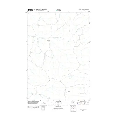
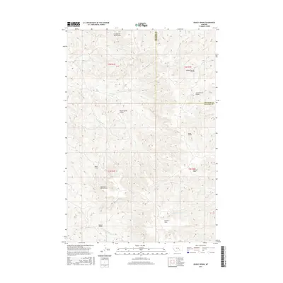
 1972 Dudley Spring1976 Print · USGSThe Big Horn County ranchlands are captured here in the early 1970s, showing a landscape defined by seasonal coulees and deep-set springs. Researchers can locate the Old Ford Place and trace water features like the Flowing Well (Hot) and Dudley Spring.
 - 1981 Map of Hardin
 1981 Hardin1981 Print · USGSBig Horn County at the start of the eighties shows a landscape shaped by the Bighorn River and deep historical ties. Researchers can trace the grounds of Custer Battlefield National Monument or find small rail points like Toluca and Crow Agency.
 - 2011 Map of Dudley Spring, 2011 Print
 2011 Dudley Spring2011 Print · USGSCovers Old Ford Place, including Treasure County, Big Horn County, and other nearby areas
 - 2014 Map of Dudley Spring, 2014 Print
 2014 Dudley Spring2014 Print · USGSCovers Old Ford Place, including Treasure County, Big Horn County, and other nearby areas
 - 2017 Map of Dudley Spring, 2017 Print
 2017 Dudley Spring2017 Print · USGSCovers Old Ford Place, including Treasure County, Big Horn County, and other nearby areas
 - 2020 Map of Dudley Spring, 2020 Print
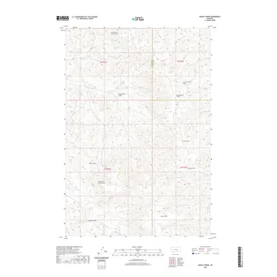 2020 Dudley Spring2020 Print · USGSCovers Old Ford Place, including Treasure County, Big Horn County, and other nearby areas
 - 2024 Map of Dudley Spring, 2024 Print
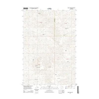
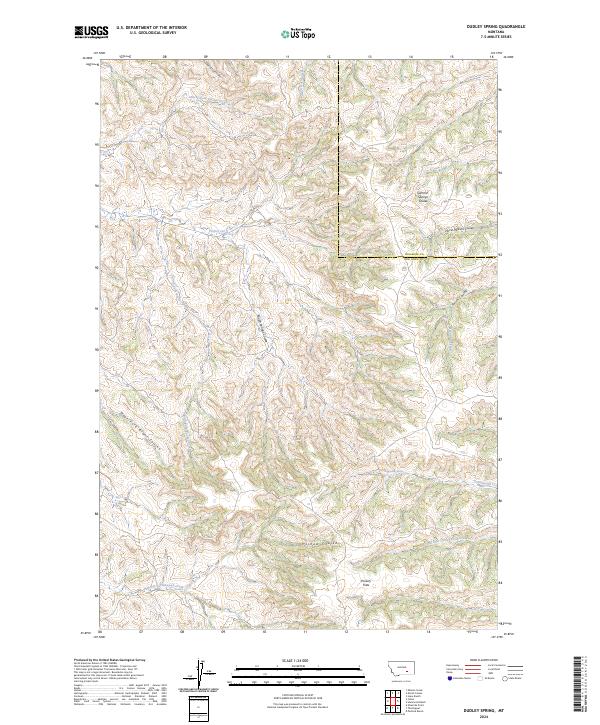 2024 Dudley Spring2024 Print · USGSHigh plains ranching country on the Big Horn and Treasure county border is meticulously documented in this recent survey. Researchers can trace the named drainages essential to local history, including Dudley Spring, Poverty Flats, and the oddly named Fountain of Youth Coulee.
End of results
Showing maps 1-10 of 10
Top cities near Old Ford Place
Frequently asked questions
- What are the different types of historical maps available for Old Ford Place?
- What is the oldest map of Old Ford Place?
- Where can I purchase historical maps of Old Ford Place for my home or office?
- Where can I download high-res historical maps of Old Ford Place?
- Are there historical topographic maps available for Old Ford Place?
- Is there historical aerial imagery available for Old Ford Place?
- Where are historical maps of Old Ford Place sourced from?