Old Maps of Fort Belknap Agency, Agency District for Academic Research
Study the evolution of Fort Belknap Agency with 16 high-resolution historic maps. Whether you're teaching, researching, or modeling changes in land use, these maps provide essential visual documentation of urban, environmental, and geographic change.
- Analyze long-term change: Track patterns in development, transportation, and natural features.
- Ideal for environmental or urban studies: Support academic projects with primary historical map data.
- Use in the classroom or lab: Educators and researchers rely on these maps to bring historical context to life.
These maps are a powerful tool for teaching, research, and visualizing how Fort Belknap Agency has changed over the decades.
Fort Belknap Agency, Agency District maps
(16)- 1953 Map of Havre, 1967 Print
 1953 Havre1967 Print · USGSNorthern Montana’s Hi-Line comes into focus in the mid-fifties, centered on the Milk River and the critical Great Northern rail link. Genealogists can trace small sidings and settlements like Assinniboine, Laredo, and Box Elder alongside the Fort Belknap Agency.3 unique versions available
 - 1957 Map of Havre
 1957 Havre1957 Print · USGSNorth-central Montana at the mid-century is defined by the vital Great Northern rail corridor and the winding Milk River. Researchers can trace old settlements like Laredo and Savoy, or locate historic sites such as the Hays (old) Sub Agency and the Chinook No 1 mine.
 - 1958 Map of Havre
 1958 Havre1958 Print · USGSUpper Montana in the late fifties was a landscape of remote rail towns and vast high-plain ranges. Genealogists and historians can trace the Great Northern railroad through Havre, Chinook, and the Fort Belknap Indian Reservation.
 - 1964 Map of Threemile Reservoir, 1967 Print
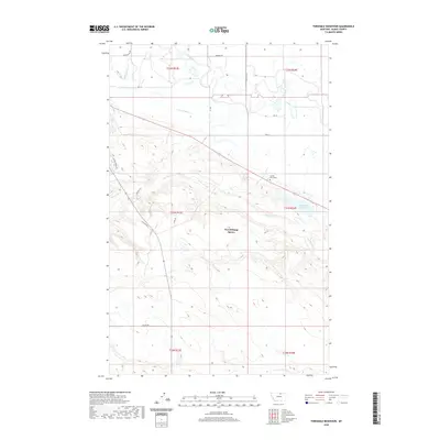
 1964 Threemile Reservoir1967 Print · USGSNorth of the Milk River in the mid-sixties, this area of Blaine County shows the development of the Missouri River Basin. Genealogists and historians can trace the Fort Belknap Indian Reservation boundary and locate the Sacred Heart Ch near Threemile Reservoir.
 - 1964 Map of Fort Belknap Agency, 1967 Print
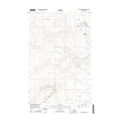
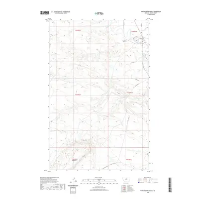
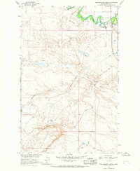 1964 Fort Belknap Agency1967 Print · USGSThe Fort Belknap Indian Reservation in the mid-sixties is centered on the Fort Belknap Agency along the winding Milk River. Researchers can trace the path of the Old Railroad Grade and locate landmarks like Snake Butte and the local Cem.
 - 1984 Map of Dodson, 1985 Print
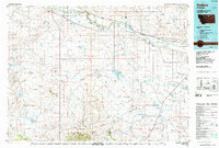 1984 Dodson1985 Print · USGSNorthern Montana ranching and reservation life are captured here in the mid-eighties as the Milk River valley sustains a string of railroad towns. Researchers can locate historic sites like Graveyard Hill, the Fort Belknap Agency, and several rural schoolhouses.
 - 2011 Map of Threemile Reservoir, 2011 Print
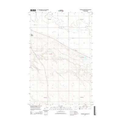
 2011 Threemile Reservoir2011 Print · USGSCovers Fort Belknap Agency, including Agency District, Blaine County, and other nearby areas
 - 2011 Map of Fort Belknap Agency, 2011 Print
 2011 Fort Belknap Agency2011 Print · USGSCovers Fort Belknap Agency, including Agency District, Blaine County, and other nearby areas
 - 2014 Map of Fort Belknap Agency, 2014 Print
 2014 Fort Belknap Agency2014 Print · USGSCovers Fort Belknap Agency, including Agency District, Blaine County, and other nearby areas
 - 2014 Map of Threemile Reservoir, 2014 Print
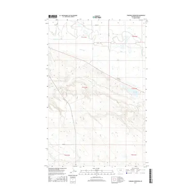
 2014 Threemile Reservoir2014 Print · USGSCovers Fort Belknap Agency, including Agency District, Blaine County, and other nearby areas
 - 2017 Map of Threemile Reservoir, 2017 Print
 2017 Threemile Reservoir2017 Print · USGSCovers Fort Belknap Agency, including Agency District, Blaine County, and other nearby areas
 - 2017 Map of Fort Belknap Agency, 2017 Print
 2017 Fort Belknap Agency2017 Print · USGSCovers Fort Belknap Agency, including Agency District, Blaine County, and other nearby areas
 - 2020 Map of Threemile Reservoir, 2020 Print
 2020 Threemile Reservoir2020 Print · USGSCovers Fort Belknap Agency, including Agency District, Blaine County, and other nearby areas
 - 2020 Map of Fort Belknap Agency, 2020 Print
 2020 Fort Belknap Agency2020 Print · USGSCovers Fort Belknap Agency, including Agency District, Blaine County, and other nearby areas
 - 2024 Map of Threemile Reservoir, 2024 Print
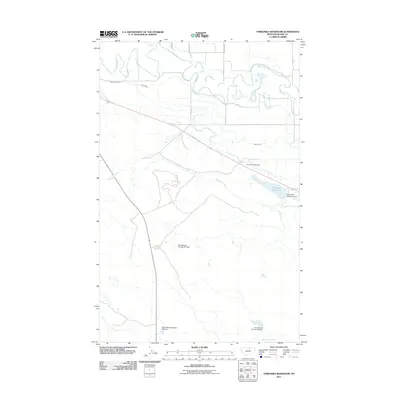
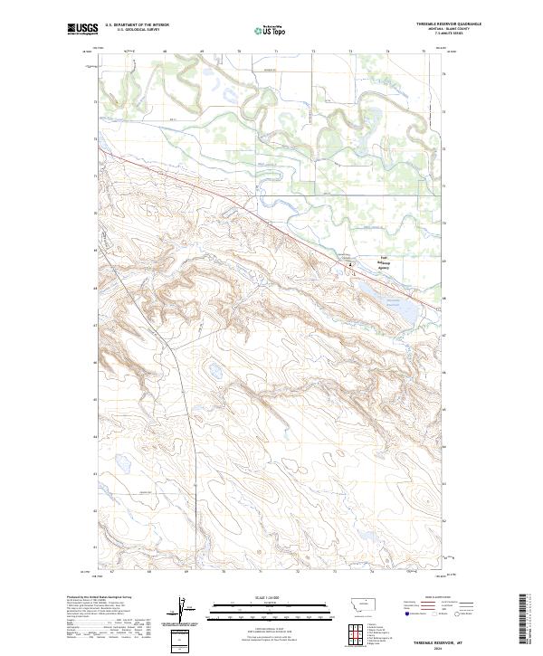 2024 Threemile Reservoir2024 Print · USGSBlaine County, Montana, is shown here in the mid-2020s, dominated by the essential water systems of the Milk River valley. Researchers can trace the layout of the Fort Belknap Agency and the extensive irrigation works of Main Canal A and Threemile Reservoir.
 - 2024 Map of Fort Belknap Agency, 2024 Print
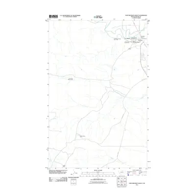
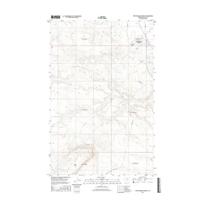
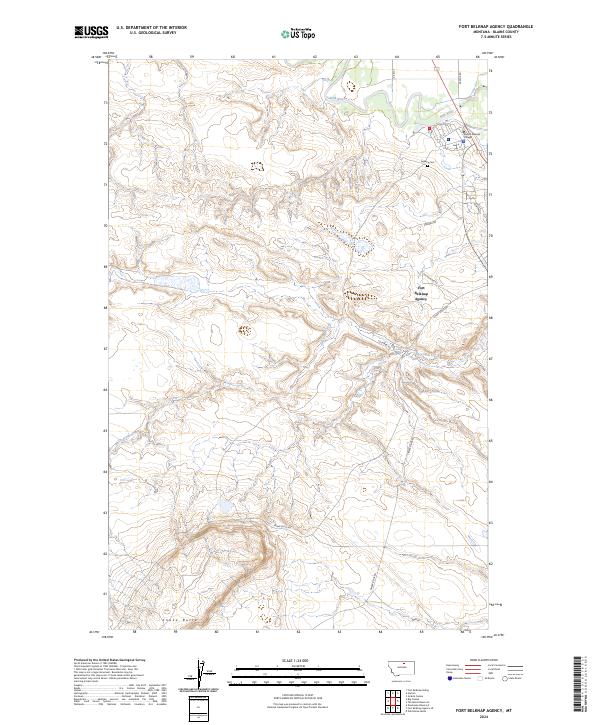 2024 Fort Belknap Agency2024 Print · USGSThe northern Montana plains meet the winding corridor of the Milk River in this recent survey of the reservation landscape. Researchers can trace local lineage through the Agency Cem or locate community landmarks like Aaniiih Nakoda College and Snake Butte.
End of results
Showing maps 1-16 of 16
Top cities near Fort Belknap Agency
Frequently asked questions
- What are the different types of historical maps available for Fort Belknap Agency?
- What is the oldest map of Fort Belknap Agency?
- Where can I purchase historical maps of Fort Belknap Agency for my home or office?
- Where can I download high-res historical maps of Fort Belknap Agency?
- Are there historical topographic maps available for Fort Belknap Agency?
- Is there historical aerial imagery available for Fort Belknap Agency?
- Where are historical maps of Fort Belknap Agency sourced from?