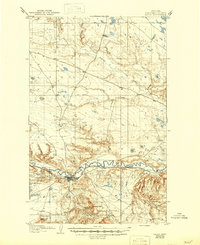
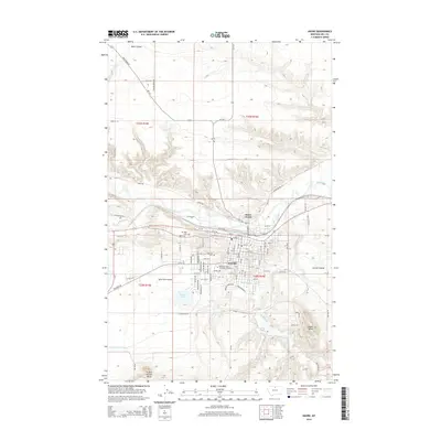
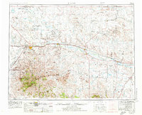
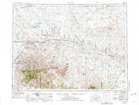
1953 Map of Havre
USGS Topo · Published 1967About this map
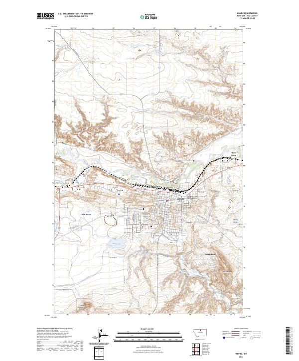
The Milk River valley serves as the primary corridor for settlement and industry in this northern Montana landscape, anchoring the regional hubs of Havre and Chinook. Parallel to the river, the Great Northern railroad dictates the placement of numerous small sidings and towns like Lohman, Zurich, and Harlem. This transit artery connects the sprawling agricultural plains to the north with the prominent peaks of the Bear Paw Mountains to the south, where high points like Baldy Mountain and Otis Mountain rise above the surrounding terrain.
Find a feature on this map
105 named features on this map. Tap any name to fly to it.
Don’t see what you’re looking for? This feature index may not catch every label — zoom into the map to look around manually.
Map Details
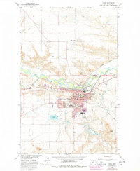
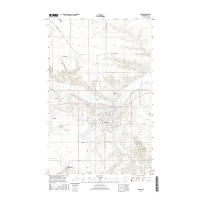
Editions of this 1953 Havre Map
3 editions found
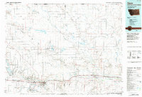
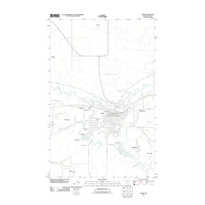
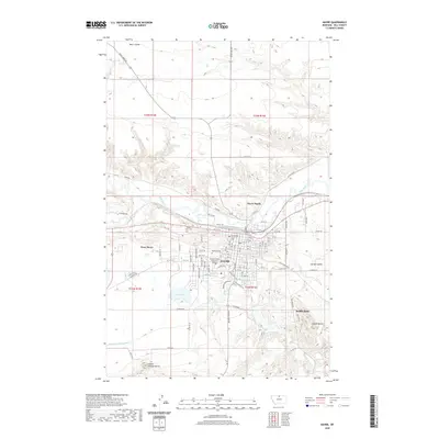
Historical Maps of Havre Through Time
11 maps found