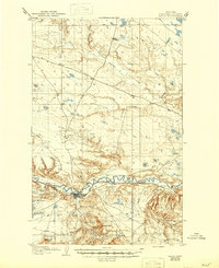
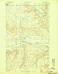
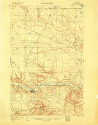
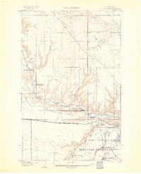
1904 Map of Havre
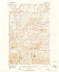
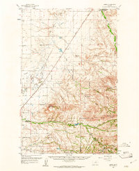
USGS Topo · Published 1946About this map
Havre serves as the primary hub along the northern Montana high plains at the beginning of the twentieth century, anchored by the critical infrastructure of the Great Northern R. R. and the winding Milk River. The landscape is defined by an extensive network of early cattle operations and homesteads, including Stringfellow's Ranch, Mc Devitt's Ranch, and Healy's Ranch, which populate the drainages around Bullhook Creek. The terrain transitions from the river valley to prominent landmarks such as Saddle Butte and Squaw Butte. To the east, the small siding of Toledo appears along the rail line near Mc Grew's Ranch, illustrating how early Montana settlement closely followed both the water and the iron rail. The map records numerous coulees, such as Lohman's Coulee and Coal Coulee, that provided vital shelter and drainage for the region's burgeoning ranching economy.
Find a feature on this map
21 named features on this map. Tap any name to fly to it.
Don’t see what you’re looking for? This feature index may not catch every label — zoom into the map to look around manually.
Map Details
Editions of this 1904 Havre Map
2 editions found
Other maps of this area
1904 · Yantic
USGS Topo · 1:62,500
1904 · Havre
USGS Topo · 1:62,500
1904 · Assinniboine
USGS Topo · 1:62,500

1912 · Zurich
USGS Topo · 1:125,000

1912 · Thibedeau Lake
USGS Topo · 1:125,000

1953 · Havre
USGS Topo · 1:250,000
1956 · Lloyd
USGS Topo · 1:62,500

1957 · Havre
USGS Topo · 1:250,000

1958 · Havre
USGS Topo · 1:250,000
1959 · Laredo
USGS Topo · 1:62,500
Featured Places
- Havre, MT
- Pats Trailer Park, MT
- Bitterroot Trailer Court, MT
- Shennum Trailer Court, MT
- Thiels West Trailer Court, MT