Old Maps of North Fork, Montana for Genealogy
Trace your family roots with 12 historic maps of North Fork. These high-res maps reveal old neighborhoods, homesites, landmarks, and streets — helping you uncover where your ancestors lived and how the area evolved over time.
- Explore historic neighborhoods: Identify where your relatives may have lived in the 1800s or 1900s.
- Compare maps over time: Trace the changes in streets, buildings, and landmarks for multi-generational research.
- Perfect for genealogy & ancestry research: Used by family historians and researchers to map out lineage and migration.
These maps are an incredible resource for exploring your personal connection to North Fork's past.
North Fork, MT maps
(12)- 1904 Map of Chinook
 1904 Chinook1904 Print · USGSLife in the Milk River Valley at the dawn of the century revolved around the rail lines and new irrigation canals. Researchers can trace early ranch holdings like Nelson's Ranch and Ronne's Ranch or locate the site of Kerrs Coalmine.2 unique versions available
 - 1912 Map of Zurich
 1912 Zurich1912 Print · USGSNorthern Montana ranchlands and rail towns are captured here in the early twentieth century before the full development of modern irrigation. Genealogists and historians can locate early family-named sites like Corregan Ranch and Kerrs Coalmine along the Great Northern railroad line.
 - 1953 Map of Havre, 1967 Print
 1953 Havre1967 Print · USGSNorthern Montana’s Hi-Line comes into focus in the mid-fifties, centered on the Milk River and the critical Great Northern rail link. Genealogists can trace small sidings and settlements like Assinniboine, Laredo, and Box Elder alongside the Fort Belknap Agency.3 unique versions available
 - 1957 Map of Havre
 1957 Havre1957 Print · USGSNorth-central Montana at the mid-century is defined by the vital Great Northern rail corridor and the winding Milk River. Researchers can trace old settlements like Laredo and Savoy, or locate historic sites such as the Hays (old) Sub Agency and the Chinook No 1 mine.
 - 1958 Map of Havre
 1958 Havre1958 Print · USGSUpper Montana in the late fifties was a landscape of remote rail towns and vast high-plain ranges. Genealogists and historians can trace the Great Northern railroad through Havre, Chinook, and the Fort Belknap Indian Reservation.
 - 1964 Map of Zurich, 1967 Print
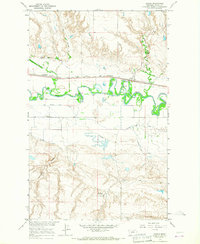 1964 Zurich1967 Print · USGSMilk River irrigation and the Great Northern railroad corridor dominate this Blaine County landscape in the mid-1960s. Researchers can trace the path of the Great Northern through Zurich, locate the North Fork Sch, and study the intricate network of the Fort Belknap Canal.
 - 1984 Map of Havre
 1984 Havre1984 Print · USGSThe Milk River valley and the northern high plains come into focus in the mid-1980s, detailing a landscape defined by rail, ranching, and water management. Trace the path of the Burlington Northern through Havre and Chinook, or locate sites like the Havre Air Force Station and Hilldale Colony.
 - 2011 Map of Zurich, 2011 Print
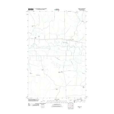 2011 Zurich2011 Print · USGSBlaine County agriculture and the river valley are captured here in the early twenty-first century. Researchers can trace irrigation networks like the Paradise Valley Canal and locate local landmarks such as the Zurich Post Office and Hebbelman Airport.
 - 2014 Map of Zurich, 2014 Print
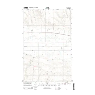 2014 Zurich2014 Print · USGSThe Milk River valley in northern Montana is captured here in the early twenty-first century, showing the intersection of rail, river, and irrigation. Genealogists and local historians can trace the streets of Zurich or locate landmarks like Hebbelman Airport and the Milk River Bridge.
 - 2017 Map of Zurich, 2017 Print
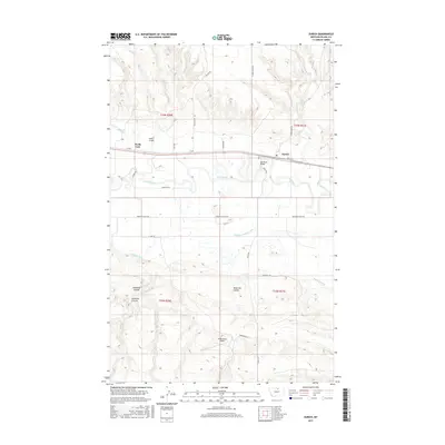 2017 Zurich2017 Print · USGSBlaine County's high plains and river bottomlands are captured here in the late twenty-tens, centered on the historic settlement of Zurich. Researchers can trace the vital irrigation networks of the Paradise Valley Canal and locate landmarks like Hebbelman Airport.
 - 2020 Map of Zurich, 2020 Print
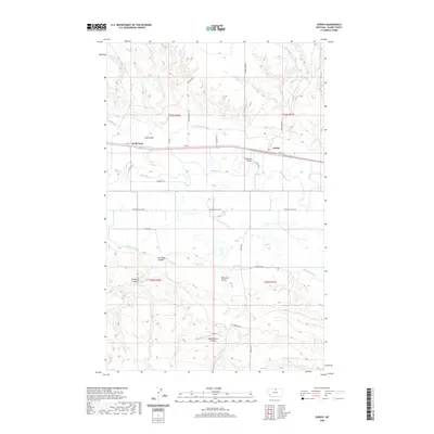 2020 Zurich2020 Print · USGSBlaine County settlement and ranching are centered on the Milk River in this modern survey. Researchers can trace irrigation networks like the Fort Belknap Canal and locate the Maddox Ranch Co Airport alongside the settlements of Zurich and North Fork.
 - 2024 Map of Zurich, 2024 Print
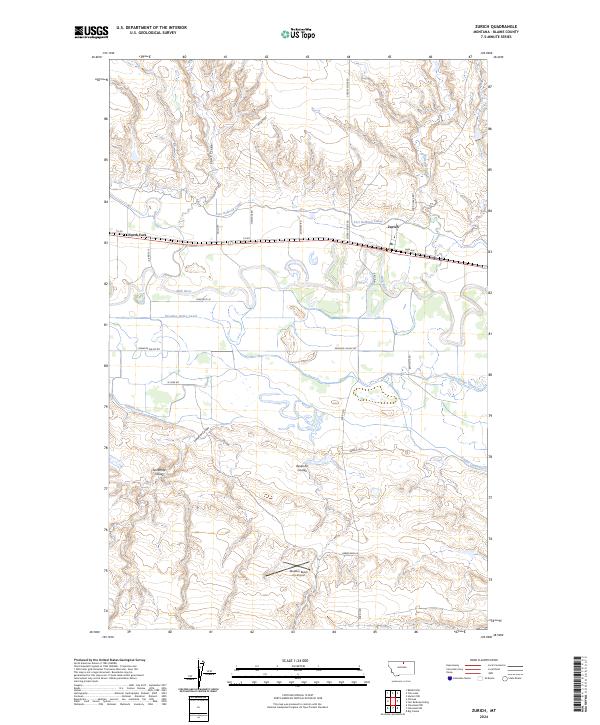 2024 Zurich2024 Print · USGSThe Milk River valley in Blaine County comes into focus in this recent survey of the rural ranchlands surrounding Zurich. Researchers can trace the modern irrigation network of the Fort Belknap Canal and locate remote features like North Fork and the Maddox Ranch Co Airport.
End of results
Showing maps 1-12 of 12
Top cities near North Fork
Frequently asked questions
- What are the different types of historical maps available for North Fork?
- What is the oldest map of North Fork?
- Where can I purchase historical maps of North Fork for my home or office?
- Where can I download high-res historical maps of North Fork?
- Are there historical topographic maps available for North Fork?
- Is there historical aerial imagery available for North Fork?
- Where are historical maps of North Fork sourced from?