Old Maps of Mill Iron, Montana for Metal Detecting
Plan your next treasure hunt with 12 historic maps of Mill Iron. Find old homesites, ghost towns, trails, and gathering spots that may be lost to time — perfect for identifying promising metal detecting locations.
- Locate forgotten sites: Uncover places like long-lost settlements, abandoned rail lines, or gathering spots.
- Plan better hunts: Use map overlays combined with LiDAR or satellite views to narrow in on historically rich areas.
- Made for detectorists: Thousands of hobbyists use these maps to discover relics, coins, and hidden history.
Use these historic maps to boost your research and find new opportunities beneath the surface of Mill Iron.
Mill Iron, MT maps
(12)- 1954 Map of Ekalaka, 1966 Print
 1954 Ekalaka1966 Print · USGSSoutheastern Montana and its borderlands with the Dakotas and Wyoming appear here in the mid-fifties, showing a remote ranching landscape. Genealogists can trace family roots through numerous rural landmarks like the Sherwin School, St Marys Ch, and Powderville.3 unique versions available
 - 1956 Map of Ekalaka
 1956 Ekalaka1956 Print · USGSSoutheast Montana and the Wyoming borderlands are shown here in the mid-fifties, capturing a landscape of remote ranching outposts and isolated country schools. Genealogists can trace family roots through landmarks like Boyes, Alzada, and Peabody School.
 - 1958 Map of Ekalaka
 1958 Ekalaka1958 Print · USGSSoutheast Montana in the mid-fifties remains a landscape of isolated ranching outposts and scattered schoolhouses. Genealogists and researchers can trace rural life through landmarks like Belltower, the McClary Ranger Station, and numerous family-named schools such as Davidson School.
 - 1965 Map of Ekalaka
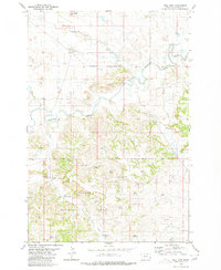
 1965 Ekalaka1965 Print · USGSThe High Plains of Montana and Wyoming appear here in the mid-1950s, as a sprawling landscape of remote ranchlands and rural school districts. Researchers can trace the locations of many small landmarks like Mitchell School, Broadus, and the Humbolt Hills.
 - 1980 Map of Mill Iron
 1980 Mill Iron1980 Print · USGSSoutheast Montana ranchlands and the timbered margins of the Custer National Forest are documented here in the early 1980s. Local researchers can trace the area's rural foundations through landmarks like the Coal Creek Sch, the Community Hall at Mill Iron, and several family-named water sources.
 - 1982 Map of Ekalaka, 1983 Print
 1982 Ekalaka1983 Print · USGSEastern Montana ranching country and the tri-state border lands are meticulously documented in the early 1980s. Local historians can trace the remote settlement of Ekalaka, the landmarks of Medicine Rocks, and the rugged profiles of Chalk Buttes and Long Pine Hills.
 - 1993 Map of Mill Iron, 1996 Print
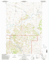 1993 Mill Iron1996 Print · USGSSoutheastern Montana's ranching country and the Custer National Forest are surveyed here in the early 1990s. Trace local genealogy and land use through the Young Ranch, the Community Hall, and rural schoolhouses like Coal Creek Sch.
 - 2011 Map of Mill Iron, 2011 Print
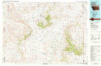
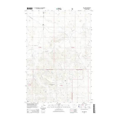
 2011 Mill Iron2011 Print · USGSCovers Mill Iron, including Carter County, United States, and other nearby areas
 - 2014 Map of Mill Iron, 2014 Print
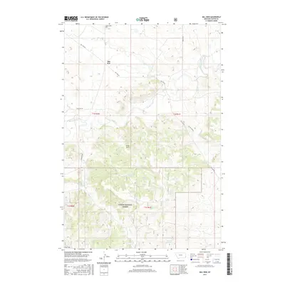
 2014 Mill Iron2014 Print · USGSCovers Mill Iron, including Carter County, United States, and other nearby areas
 - 2017 Map of Mill Iron, 2017 Print
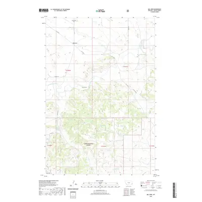
 2017 Mill Iron2017 Print · USGSCovers Mill Iron, including Carter County, United States, and other nearby areas
 - 2020 Map of Mill Iron, 2020 Print
 2020 Mill Iron2020 Print · USGSCovers Mill Iron, including Carter County, United States, and other nearby areas
 - 2024 Map of Mill Iron, 2024 Print
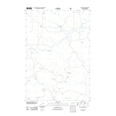
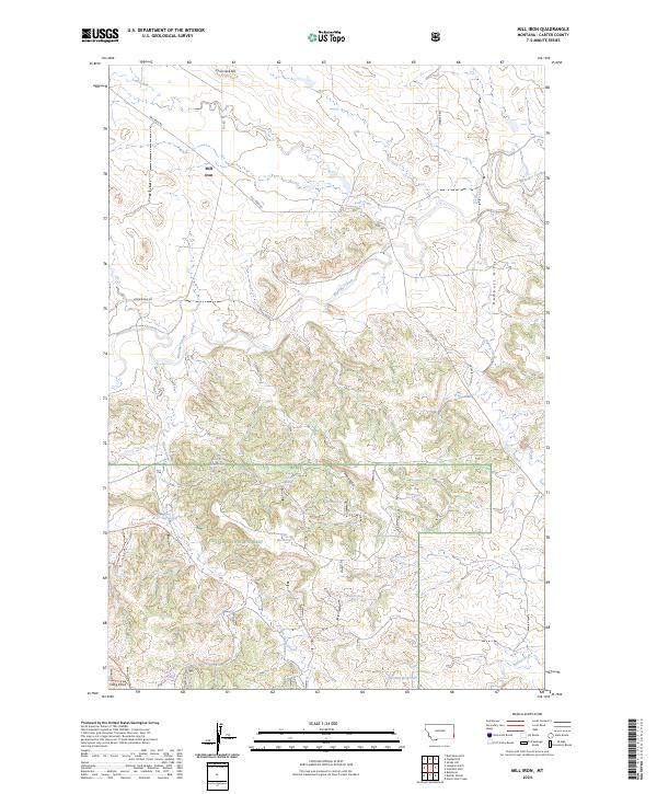 2024 Mill Iron2024 Print · USGSEastern Montana ranching country and the timbered slopes of the Custer National Forest meet in this modern survey. Researchers can trace land use patterns through dozens of water features like Bar C Reservoir, Iron Spring, and Herman Reservoir.
End of results
Showing maps 1-12 of 12
Frequently asked questions
- What are the different types of historical maps available for Mill Iron?
- What is the oldest map of Mill Iron?
- Where can I purchase historical maps of Mill Iron for my home or office?
- Where can I download high-res historical maps of Mill Iron?
- Are there historical topographic maps available for Mill Iron?
- Is there historical aerial imagery available for Mill Iron?
- Where are historical maps of Mill Iron sourced from?