Old Maps of Ashuelot, Montana for Academic Research
Study the evolution of Ashuelot with 11 high-resolution historic maps. Whether you're teaching, researching, or modeling changes in land use, these maps provide essential visual documentation of urban, environmental, and geographic change.
- Analyze long-term change: Track patterns in development, transportation, and natural features.
- Ideal for environmental or urban studies: Support academic projects with primary historical map data.
- Use in the classroom or lab: Educators and researchers rely on these maps to bring historical context to life.
These maps are a powerful tool for teaching, research, and visualizing how Ashuelot has changed over the decades.
Ashuelot, MT maps
(11)- 1886 Map of Great Falls
 1886 Great Falls1886 Print · USGSCentral Montana in the mid-1880s is defined by its great river systems and the early footprints of frontier outposts. Researchers can trace the early development of Great Falls, find the site of St. Peter's Mission, and locate river settlements like Truly and Fort Shaw.4 unique versions available
 - 1950 Map of Fairfield, 1952 Print
 1950 Fairfield1952 Print · USGSIn the early 1950s, the Teton County prairie was a landscape of irrigation canals and rail lines centered on Fairfield. Trace the development of the Missouri River Basin through features like the Greenfield Main Canal, Old Fort Shaw, and the Great Northern railroad.4 unique versions available
 - 1954 Map of Great Falls
 1954 Great Falls1954 Print · USGSThe Missouri River valley in the mid-1950s is shown at a time of significant industrial and military growth. Genealogists and historians can locate early schools and rail stops like Tiger Butte Community Center, Fort Benton, and the Anaconda Wire Plant.4 unique versions available
 - 1957 Map of Great Falls
 1957 Great Falls1957 Print · USGSMontana's central plains and mountain foothills are captured here in the mid-fifties, showing the hub of Great Falls and the surrounding grain-shipping towns. Genealogists can trace family roots through the rail sidings of the Great Northern and small rural communities like Sand Coulee or Fort Benton.
 - 1976 Map of Great Falls North, 1990 Print
 1976 Great Falls North1990 Print · USGSNorth of the Missouri River in the mid-seventies, this survey shows a region defined by extensive irrigation projects and the growing footprint of Great Falls. Researchers can trace the Burlington Northern rail lines through Dutton or locate the sprawling Benton Lake National Wildlife Refuge.
 - 1983 Map of Fort Shaw
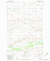 1983 Fort Shaw1983 Print · USGSThe Sun River valley comes alive in the early 1980s, showing a landscape defined by frontier military history and an intricate irrigation network. Researchers can trace the Fort Shaw Military Reservation Boundary, the Old Railroad Grade, and settlements like Ashuelot.
 - 2011 Map of Fort Shaw, 2011 Print
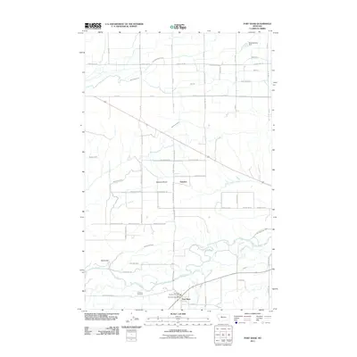 2011 Fort Shaw2011 Print · USGSThe Sun River valley comes into sharp focus during the early twenty-first century, showing the enduring agricultural and civic life of Cascade County. Researchers can trace the layout of Fort Shaw and Ashuelot, or locate landmarks like the Fort Shaw Cemetery and Moving Along Dam.
 - 2014 Map of Fort Shaw, 2014 Print
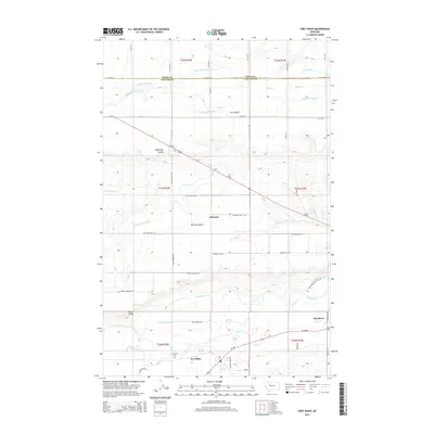 2014 Fort Shaw2014 Print · USGSThe Sun River Valley in north-central Montana is shown here as a highly developed agricultural corridor in 2014. Trace the complex irrigation network of the Birchmeade Canal and Greenfield S Canal near the historic settlements of Fort Shaw and Ashuelot.
 - 2017 Map of Fort Shaw, 2017 Print
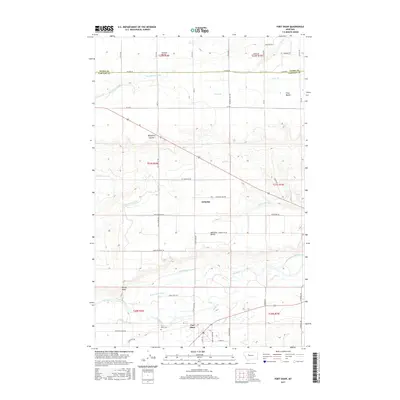 2017 Fort Shaw2017 Print · USGSThe Sun River valley near Fort Shaw is captured in this modern survey of central Montana’s irrigation-rich landscape. Genealogists and historians can trace the community layout of Ashuelot, locate the Fort Shaw Cem, and follow the path of the Birchmeade Canal.
 - 2020 Map of Fort Shaw, 2020 Print
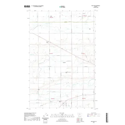 2020 Fort Shaw2020 Print · USGSThe Sun River valley comes into focus during this modern era, highlighting the intricate irrigation systems of Cascade County. Researchers can trace the legacy of Fort Shaw, locate the Fort Shaw Cem, and follow the path of the Mill Coulee Cr.
 - 2024 Map of Fort Shaw, 2024 Print
 2024 Fort Shaw2024 Print · USGSThe Sun River valley and its tiered prairie benches appear in great detail on this modern map of western Montana. Researchers can trace the extensive irrigation network including the Mill Coulee Canal and Greenfield South Canal, or locate the Fort Shaw Cem near the river.
End of results
Showing maps 1-11 of 11
Top cities near Ashuelot
Frequently asked questions
- What are the different types of historical maps available for Ashuelot?
- What is the oldest map of Ashuelot?
- Where can I purchase historical maps of Ashuelot for my home or office?
- Where can I download high-res historical maps of Ashuelot?
- Are there historical topographic maps available for Ashuelot?
- Is there historical aerial imagery available for Ashuelot?
- Where are historical maps of Ashuelot sourced from?