Old Maps of Hill Top Hutterite Colony, Montana for Academic Research
Study the evolution of Hill Top Hutterite Colony with 11 high-resolution historic maps. Whether you're teaching, researching, or modeling changes in land use, these maps provide essential visual documentation of urban, environmental, and geographic change.
- Analyze long-term change: Track patterns in development, transportation, and natural features.
- Ideal for environmental or urban studies: Support academic projects with primary historical map data.
- Use in the classroom or lab: Educators and researchers rely on these maps to bring historical context to life.
These maps are a powerful tool for teaching, research, and visualizing how Hill Top Hutterite Colony has changed over the decades.
Hill Top Hutterite Colony, MT maps
(11)- 1886 Map of Great Falls
 1886 Great Falls1886 Print · USGSCentral Montana in the mid-1880s is defined by its great river systems and the early footprints of frontier outposts. Researchers can trace the early development of Great Falls, find the site of St. Peter's Mission, and locate river settlements like Truly and Fort Shaw.4 unique versions available
 - 1954 Map of Great Falls
 1954 Great Falls1954 Print · USGSThe Missouri River valley in the mid-1950s is shown at a time of significant industrial and military growth. Genealogists and historians can locate early schools and rail stops like Tiger Butte Community Center, Fort Benton, and the Anaconda Wire Plant.4 unique versions available
 - 1955 Map of Stockett, 1957 Print
 1955 Stockett1957 Print · USGSCascade County in the mid-fifties reveals a landscape of coal-mining settlements and military growth south of the Missouri River. Genealogists and historians can trace family roots through numerous rural markers like Flemming Sch, Sandcoulee Cem, and the high-ground community of Stockett.3 unique versions available
 - 1957 Map of Great Falls
 1957 Great Falls1957 Print · USGSMontana's central plains and mountain foothills are captured here in the mid-fifties, showing the hub of Great Falls and the surrounding grain-shipping towns. Genealogists can trace family roots through the rail sidings of the Great Northern and small rural communities like Sand Coulee or Fort Benton.
 - 1965 Map of Fife, 1968 Print
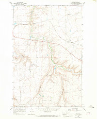 1965 Fife1968 Print · USGSCascade County ranching and rail history are well-preserved in this mid-sixties survey of the Montana plains. Genealogists and historians can trace rural school locations like Box Elder Sch and follow the path of the Great Northern railroad past Fife.2 unique versions available
 - 1976 Map of Great Falls South, 1994 Print
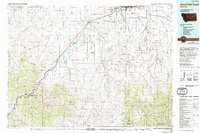 1976 Great Falls South1994 Print · USGSCascade County in the mid-seventies reveals a landscape defined by the winding Missouri River and the high peaks of the Little Belt Mountains. Researchers can trace the heritage of mining settlements like Centerville, Stockett, and Number Seven or explore the boundaries of the Lewis and Clark National Forest.
 - 2011 Map of Fife, 2011 Print
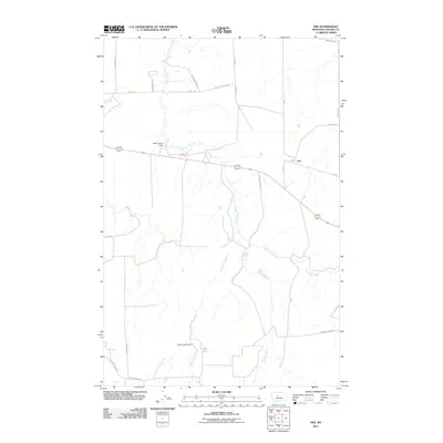 2011 Fife2011 Print · USGSFife and its surrounding agricultural reaches are captured here during the early twenty-first century. Researchers can trace rural water management and land divisions through landmarks like Elder Elmer Dam and the confluence of Box Elder Creek and Shellrock Creek.
 - 2014 Map of Fife, 2014 Print
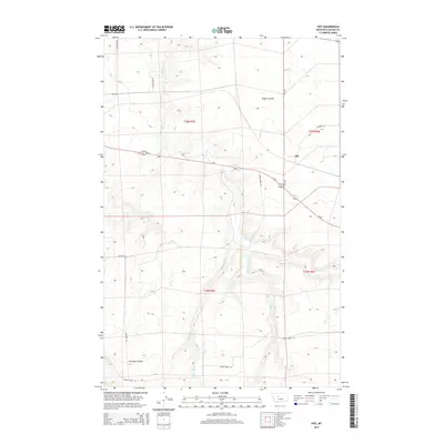 2014 Fife2014 Print · USGSCascade County ranching and transit corridors are captured here in the early 2010s. Trace the seasonal drainages of Box Elder Cr and Antelope Coulee or follow family-named landmarks like Bob Gordon Ln and Hastings Rd near Fife.
 - 2017 Map of Fife, 2017 Print
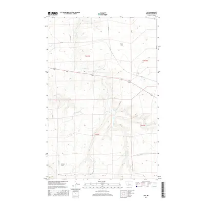 2017 Fife2017 Print · USGSThe rural landscape of Cascade County is captured here in the late twenty-tens, showing the ranching country around the settlement of Fife. Genealogists and local historians can trace family-named routes and landmarks like Rogers Coulee, Bob Gordon Ln, and the banks of Box Elder Cr.
 - 2020 Map of Fife, 2020 Print
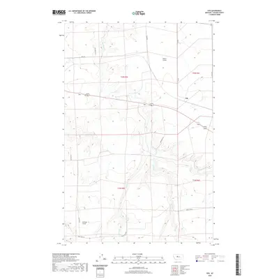 2020 Fife2020 Print · USGSCascade County's prairie landscape comes into focus during this 2020 survey of the ranching country surrounding Fife. Local historians can trace the paths of Box Elder Cr and Spring Cr as they weave through landmarks like Rogers Coulee and Antelope Coulee.
 - 2024 Map of Fife, 2024 Print
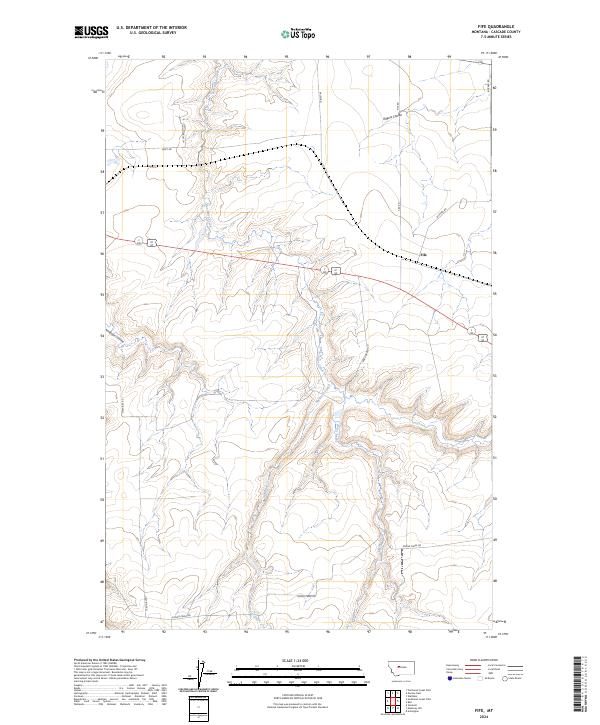 2024 Fife2024 Print · USGSThe rural landscape of Cascade County near Fife is documented in this contemporary survey of its coulees and creeks. Researchers can trace land divisions and local routes like Salem Rd, Rogers Coulee, and Box Elder Creek.
End of results
Showing maps 1-11 of 11
Top cities near Hill Top Hutterite Colony
Frequently asked questions
- What are the different types of historical maps available for Hill Top Hutterite Colony?
- What is the oldest map of Hill Top Hutterite Colony?
- Where can I purchase historical maps of Hill Top Hutterite Colony for my home or office?
- Where can I download high-res historical maps of Hill Top Hutterite Colony?
- Are there historical topographic maps available for Hill Top Hutterite Colony?
- Is there historical aerial imagery available for Hill Top Hutterite Colony?
- Where are historical maps of Hill Top Hutterite Colony sourced from?