Old Maps of Ulm, Montana
Explore 12 old maps of Ulm, spanning from 1886 to today. These high-resolution historic maps reveal how streets, neighborhoods, landmarks, and natural features evolved over time — perfect for genealogy, metal detecting, research, and local history exploration.
What you can do with these maps:
- See how Ulm changed over time: Compare historical maps to modern-day views to trace roads, homesites, rail lines & more.
- View detailed metadata: Each map includes creators, publishers, year, scale, and archive source.
- Overlay maps with satellite & LiDAR: Visualize the past alongside modern tools to explore terrain & human change.
- Trusted historical sources: Maps sourced from the USGS, Library of Congress, and other archives.
- Access maps your way: View online, download high-res files, or order prints for personal or research use.
Start exploring old maps of Ulm to uncover forgotten places, hidden landmarks, and the deep history beneath your feet.
Ulm, MT maps
(12)- 1886 Map of Great Falls
 1886 Great Falls1886 Print · USGSCentral Montana in the mid-1880s is defined by its great river systems and the early footprints of frontier outposts. Researchers can trace the early development of Great Falls, find the site of St. Peter's Mission, and locate river settlements like Truly and Fort Shaw.4 unique versions available
 - 1949 Map of Cascade, 1956 Print
 1949 Cascade1956 Print · USGSCascade and Ulm are captured here at the mid-century point, during a period of steady ranching and river-side development along the Missouri River. Genealogists and historians can locate the Castner Falls Cem, Superior School, and the defunct Elizabeth Reservoir.2 unique versions available
 - 1951 Map of Cascade
 1951 Cascade1951 Print · USGSMid-century Montana comes into focus as the Missouri River winds past the growing settlements and cattle country of Cascade County. Researchers can trace family sites near Superior School, the Castner Falls Cemetery, and the Great Northern rail line.2 unique versions available
 - 1954 Map of Great Falls
 1954 Great Falls1954 Print · USGSThe Missouri River valley in the mid-1950s is shown at a time of significant industrial and military growth. Genealogists and historians can locate early schools and rail stops like Tiger Butte Community Center, Fort Benton, and the Anaconda Wire Plant.4 unique versions available
 - 1957 Map of Great Falls
 1957 Great Falls1957 Print · USGSMontana's central plains and mountain foothills are captured here in the mid-fifties, showing the hub of Great Falls and the surrounding grain-shipping towns. Genealogists can trace family roots through the rail sidings of the Great Northern and small rural communities like Sand Coulee or Fort Benton.
 - 1976 Map of Great Falls South, 1994 Print
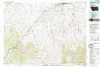 1976 Great Falls South1994 Print · USGSCascade County in the mid-seventies reveals a landscape defined by the winding Missouri River and the high peaks of the Little Belt Mountains. Researchers can trace the heritage of mining settlements like Centerville, Stockett, and Number Seven or explore the boundaries of the Lewis and Clark National Forest.
 - 1983 Map of Ulm
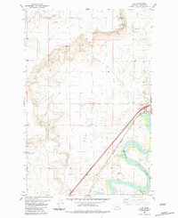 1983 Ulm1983 Print · USGSThe Missouri River valley in the early 1980s shows a landscape of wide river meanders and high plateau overlooks. Genealogists and local historians can trace the layout of Ulm, the Fair Haven Colony, and the historic Ulm Pishkun State Monument.2 unique versions available
 - 2011 Map of Ulm, 2011 Print
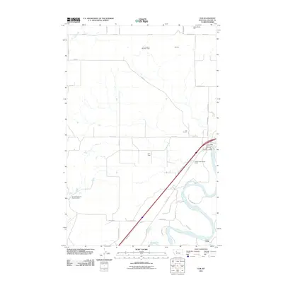 2011 Ulm2011 Print · USGSUlm sits along the Missouri River in the early twenty-first century, serving as a hub for the surrounding ranching and agricultural lands. Genealogists and local historians can trace the community's layout near Ulm Cemetery, Ulm Bridge, and the Ulm Post Office.
 - 2014 Map of Ulm, 2014 Print
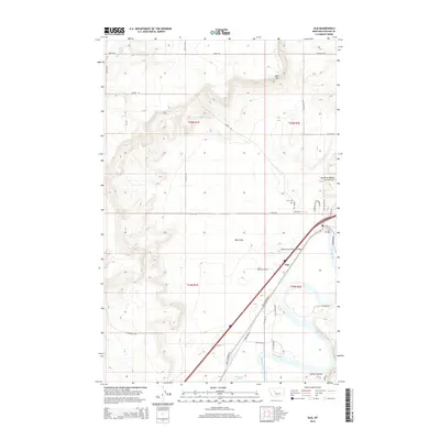 2014 Ulm2014 Print · USGSUlm and the Missouri River corridor are captured in this recent survey of central Montana. Local researchers can trace family landmarks and historical transit routes across Ulm Flats, including the location of the Ulm Cem and the Ulm Bridge.
 - 2017 Map of Ulm, 2017 Print
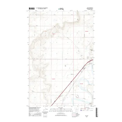 2017 Ulm2017 Print · USGSNear the confluence of the Missouri and Sun Rivers during the late twenty-teens, this survey shows the evolving landscape of Cascade County. Researchers can trace local landmarks like Ulm Cem, the historic crossing at Ulm Bridge, and terrain features from Ulm Flats to Taft Hill.
 - 2020 Map of Ulm, 2020 Print
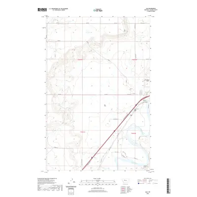 2020 Ulm2020 Print · USGSThe community of Ulm is captured here along the banks of the Missouri River in the modern era. Researchers can trace the layout of the town and its surrounding geography, from the Ulm Cem to regional landmarks like Taft Hill and the Sun River Bench.
 - 2024 Map of Ulm, 2024 Print
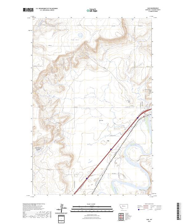 2024 Ulm2024 Print · USGSCascade County in the 2020s shows a landscape of river-valley agriculture and high-plains geography. Researchers can trace the layout of Ulm and the Fair Haven Colony or locate family sites near Ulm Cem and the Missouri River.
End of results
Showing maps 1-12 of 12
Top cities near Ulm
Frequently asked questions
- What are the different types of historical maps available for Ulm?
- What is the oldest map of Ulm?
- Where can I purchase historical maps of Ulm for my home or office?
- Where can I download high-res historical maps of Ulm?
- Are there historical topographic maps available for Ulm?
- Is there historical aerial imagery available for Ulm?
- Where are historical maps of Ulm sourced from?