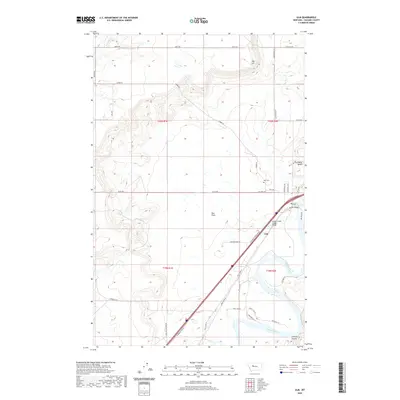
2020 Map of Ulm
USGS Topo · Published 2020About this map
Ulm serves as the focal point of this Cascade County landscape, situated where the Missouri River bends through the southern portion of the sheet. The terrain is defined by distinct topographical benches and plateaus, notably the Sun River Bench in the northeast and the expansive Ulm Flats that dominate the central section. North of the river, Taft Hill rises above a series of drainages, including Fourmile Cr, while to the south, Castner Coulee carves into the riverbank. This map documents a modern transportation and infrastructure network, including the Ulm South Frontage Rd and Old US Hwy 91 paralleling the river, alongside local landmarks like the Ulm Cem and the Muddy Creek Slough Bridge. The grid of section lines and rural routes, such as Luebbe Rd and Goetz Rd, provides a clear view of land division across the T20N and T19N townships.
Find a feature on this map
40 named features on this map. Tap any name to fly to it.
Don’t see what you’re looking for? This feature index may not catch every label — zoom into the map to look around manually.
Map Details
Editions of this 2020 Ulm Map
This is the sole edition of this map. No revisions or reprints were ever made.
Other maps of this area
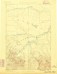
1886 · Great Falls
USGS Topo · 1:250,000
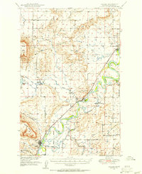
1949 · Cascade
USGS Topo · 1:62,500
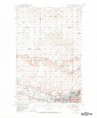
1949 · Great Falls
USGS Topo · 1:62,500
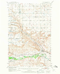
1949 · Vaughn
USGS Topo · 1:62,500
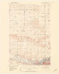
1951 · Great Falls
USGS Topo · 1:62,500
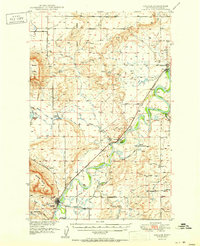
1951 · Cascade
USGS Topo · 1:62,500
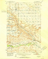
1952 · Vaughn
USGS Topo · 1:62,500
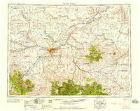
1954 · Great Falls
USGS Topo · 1:250,000
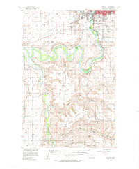
1955 · Gore Hill
USGS Topo · 1:62,500
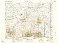
1957 · Great Falls
USGS Topo · 1:250,000