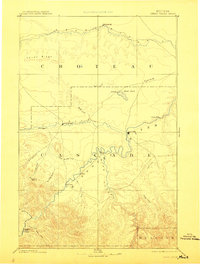
1949 Map of Great Falls
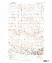
USGS Topo · Published 1966About this map
The confluence of the Missouri River and the Sun River anchors this 1949 survey, capturing the industrial and educational heart of Great Falls at mid-century. Industrial infrastructure is prominent along the riverbanks, where an Oil Refinery and the Black Eagle Dam sit near the settlement of Black Eagle. The map details the transition from urban center to the high plains, showing established neighborhoods like Manchester Heights and Manchester alongside several outlying rural schools including Haveron School and Benton School.
Find a feature on this map
37 named features on this map. Tap any name to fly to it.
Don’t see what you’re looking for? This feature index may not catch every label — zoom into the map to look around manually.
Map Details
Editions of this 1949 Great Falls Map
This is the sole edition of this map. No revisions or reprints were ever made.
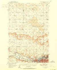
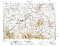
Historical Maps of Great Falls Through Time
5 maps found