
1950 Map of Dutton
USGS Topo · Published 1952About this map
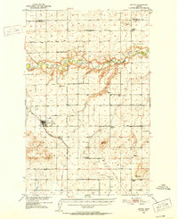
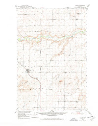
Dutton serves as the central hub of this agricultural landscape in the mid-20th century, situated at the junction of the Great Northern railroad and Diamond Valley Road. The community is anchored by local infrastructure including a Cem and the Dutton Airfield, reflecting the importance of both ground and air transport in the rural Teton County area. The surrounding plains are heavily dotted with rural schoolhouses such as Doheney School, Habel School, and Middleton School, indicating a distributed pattern of settlement and local education prior to widespread school consolidation.
Find a feature on this map
19 named features on this map. Tap any name to fly to it.
Don’t see what you’re looking for? This feature index may not catch every label — zoom into the map to look around manually.
Map Details
Editions of this 1950 Dutton Map
3 editions found
Other maps of this area

1886 · Great Falls
USGS Topo · 1:250,000

1920 · Conrad
USGS Topo · 1:125,000

1949 · Timber Coulee
USGS Topo · 1:62,500

1949 · Great Falls
USGS Topo · 1:62,500

1949 · Vaughn
USGS Topo · 1:62,500

1950 · Timber Coulee
USGS Topo · 1:62,500

1950 · Fairfield
USGS Topo · 1:62,500

1950 · Collins
USGS Topo · 1:62,500

1951 · Great Falls
USGS Topo · 1:62,500

1952 · Vaughn
USGS Topo · 1:62,500