
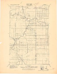
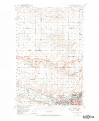
1950 Map of Timber Coulee
USGS Topo · Published 1950About this map
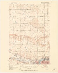
The Teton River carves a deep, winding path through this central Montana landscape, serving as a natural boundary between Teton, Chouteau, and Pondera counties. In the mid-twentieth century, this region was defined by a scattered network of rural school districts and small-scale agricultural infrastructure. Key landmarks like the Aznoe School, Promised Land School, and Diamond Valley School underscore the importance of local education centers in a sparsely populated farming and ranching economy.
Find a feature on this map
39 named features on this map. Tap any name to fly to it.
Don’t see what you’re looking for? This feature index may not catch every label — zoom into the map to look around manually.
Map Details
Editions of this 1950 Timber Coulee Map
This is the sole edition of this map. No revisions or reprints were ever made.
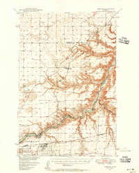
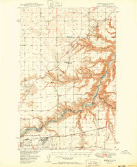
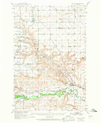
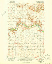
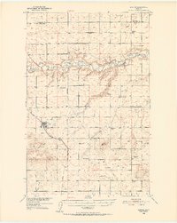
Other maps of this area

1886 · Great Falls
USGS Topo · 1:250,000
1920 · Conrad
USGS Topo · 1:125,000
1948 · Portage
USGS Topo · 1:62,500
1949 · Portage
USGS Topo · 1:62,500
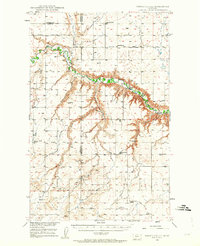
1949 · Timber Coulee
USGS Topo · 1:62,500
1949 · Great Falls
USGS Topo · 1:62,500
1949 · Vaughn
USGS Topo · 1:62,500
1950 · Dent Bridge
USGS Topo · 1:62,500
1950 · Dutton
USGS Topo · 1:62,500
1951 · Great Falls
USGS Topo · 1:62,500