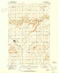
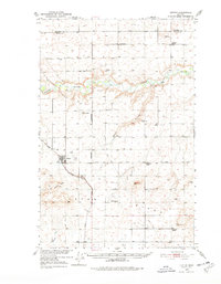
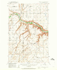
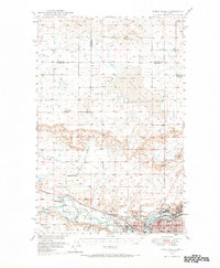
1950 Map of Dutton
USGS Topo · Published 1952About this map
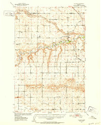
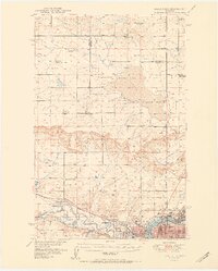
The town of Dutton serves as the hub of this mid-century topographic survey, positioned along the Great Northern railway as it traverses the high plains. The landscape is defined by the deeply incised meanders of the Teton River, which cuts a winding path across the northern half of the sheet, contrasted by the linear precision of the Diamond Valley Road and the Principal Meridian. A network of rural education is visible through several country schools, including Habel School, Middleton School, and the Snider School (Aband). Evidence of local infrastructure and early aviation is grounded in the presence of the Dutton Airfield and a regional Pipe Line. The map also captures the agricultural and industrial character of Teton County through scattered Gravel Pits and landmarks like Bessette Ridge, offering a clear view of the region's development during the Department of the Interior's Missouri River Basin program.
Find a feature on this map
21 named features on this map. Tap any name to fly to it.
Don’t see what you’re looking for? This feature index may not catch every label — zoom into the map to look around manually.
Map Details
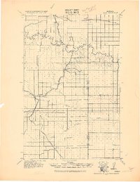
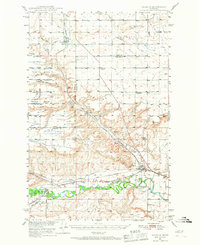
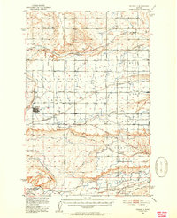
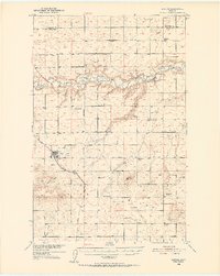
Editions of this 1950 Dutton Map
3 editions found
Other maps of this area

1886 · Great Falls
USGS Topo · 1:250,000
1920 · Conrad
USGS Topo · 1:125,000
1949 · Timber Coulee
USGS Topo · 1:62,500
1949 · Great Falls
USGS Topo · 1:62,500
1949 · Vaughn
USGS Topo · 1:62,500

1950 · Timber Coulee
USGS Topo · 1:62,500
1950 · Fairfield
USGS Topo · 1:62,500
1950 · Dutton
USGS Topo · 1:62,500
1950 · Collins
USGS Topo · 1:62,500
1951 · Great Falls
USGS Topo · 1:62,500