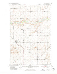
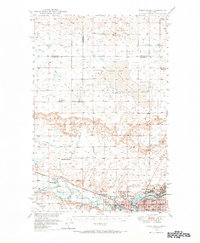
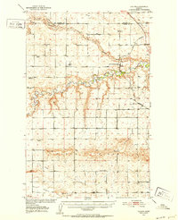
1950 Map of Dutton
USGS Topo · Published 1978About this map
Dutton stands as the primary settlement on this mid-century survey of the Montana plains, situated along the Great Northern railway line. The landscape is defined by the winding course of the Teton River, which cuts through the northern portion of the quadrangle, and the broad drainage of Hunt Coulee to the south. This era of rural education is remarkably well-preserved here, with numerous local schools such as Doheney School, Habel School, and Middleton School serving the surrounding agricultural community.
Find a feature on this map
30 named features on this map. Tap any name to fly to it.
Don’t see what you’re looking for? This feature index may not catch every label — zoom into the map to look around manually.
Map Details
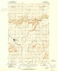
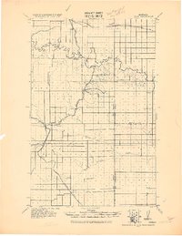
Editions of this 1950 Dutton Map
3 editions found
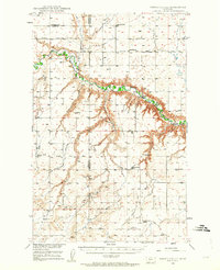
Other maps of this area

1886 · Great Falls
USGS Topo · 1:250,000
1920 · Conrad
USGS Topo · 1:125,000
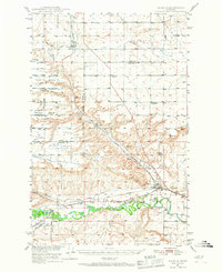
1949 · Timber Coulee
USGS Topo · 1:62,500
1949 · Great Falls
USGS Topo · 1:62,500
1949 · Vaughn
USGS Topo · 1:62,500

1950 · Timber Coulee
USGS Topo · 1:62,500
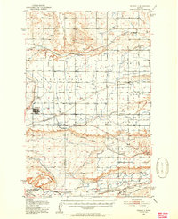
1950 · Fairfield
USGS Topo · 1:62,500
1950 · Dutton
USGS Topo · 1:62,500
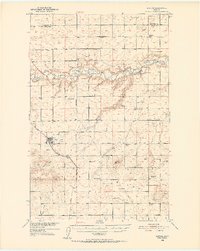
1950 · Collins
USGS Topo · 1:62,500
1951 · Great Falls
USGS Topo · 1:62,500