Old Maps of Columbia Falls, Montana
Explore 19 old maps of Columbia Falls, spanning from 1943 to today. These high-resolution historic maps reveal how streets, neighborhoods, landmarks, and natural features evolved over time — perfect for genealogy, metal detecting, research, and local history exploration.
What you can do with these maps:
- See how Columbia Falls changed over time: Compare historical maps to modern-day views to trace roads, homesites, rail lines & more.
- View detailed metadata: Each map includes creators, publishers, year, scale, and archive source.
- Overlay maps with satellite & LiDAR: Visualize the past alongside modern tools to explore terrain & human change.
- Trusted historical sources: Maps sourced from the USGS, Library of Congress, and other archives.
- Access maps your way: View online, download high-res files, or order prints for personal or research use.
Start exploring old maps of Columbia Falls to uncover forgotten places, hidden landmarks, and the deep history beneath your feet.
Columbia Falls, MT maps
(19)- 1943 Map of Kalispell
 1943 Kalispell1943 Print · USGSThe Flathead Valley's mid-century rail and river networks are preserved here as Kalispell expanded. Genealogists and historians can trace defunct river crossings like Therriaults Ferry, the old Demersville site, and the rail path of the Somers Kalispell Br.
 - 1957 Map of Kalispell, 1967 Print
 1957 Kalispell1967 Print · USGSNorthwest Montana in the late fifties showcases a mountain landscape transitioning between wilderness and industry. Genealogists and researchers can trace the Great Northern rail corridor through Kalispell and Whitefish, or locate landmarks like the Montana Soldiers Home and Hungry Horse Reservoir.3 unique versions available
 - 1960 Map of Kalispell
 1960 Kalispell1960 Print · USGSNorthwest Montana in the late fifties is defined by the mountain corridors of the Great Northern Railway and the vast reaches of Glacier National Park. Researchers can trace the legacy of timber and mining towns like Libby, Rexford, and Whitefish, or locate landmarks such as the Snowshoe Mine.
 - 1961 Map of Kalispell
 1961 Kalispell1961 Print · USGSNorthwestern Montana at the start of the 1960s shows a landscape of timber-driven rail towns and the sprawling wild lands of Glacier National Park. Genealogists and historians can trace the route of the Great Northern through mountain passes or locate old settlements like Fortine, Trego, and Warland.
 - 1962 Map of Columbia Falls South, 1964 Print
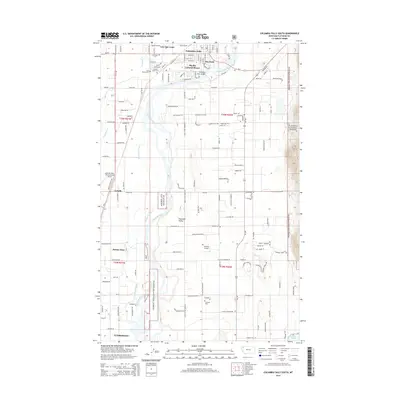
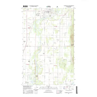
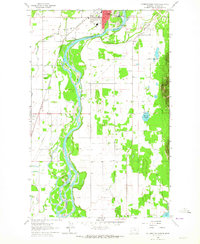 1962 Columbia Falls South1964 Print · USGSFlathead County south of Columbia Falls is captured here in the early sixties as a productive river valley and rail corridor. Researchers can locate family landmarks like Fairview Cem, the La Salle Sch, and the State Soldiers Home.3 unique versions available
 - 1962 Map of Columbia Falls North, 1965 Print
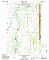
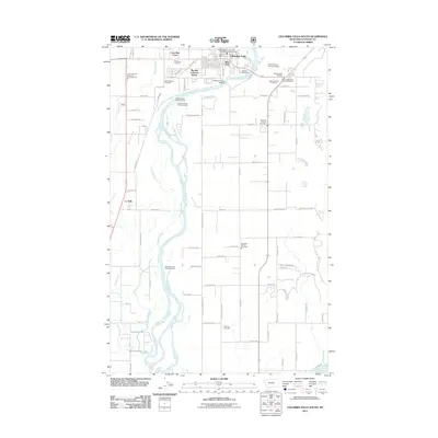
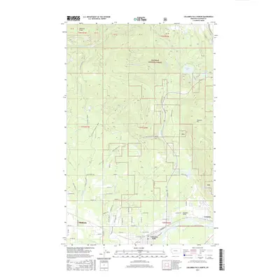
 1962 Columbia Falls North1965 Print · USGSThe North Fork Flathead River valley comes alive in the early sixties as industrial growth meets the wilderness edge. Trace the rails of the Great Northern Railroad past the Aluminum Plant and the old settlement at Halfmoon.4 unique versions available
 - 1981 Map of Kalispell, 1982 Print
 1981 Kalispell1982 Print · USGSThe Flathead Valley in the early eighties shows a landscape defined by timber, tourism, and transit. Genealogists and historians can trace the growth of Evergreen, Bigfork, and Somers or locate early aviation landmarks like the Glacier Park Intl Airport.
 - 1994 Map of Columbia Falls North, 1997 Print
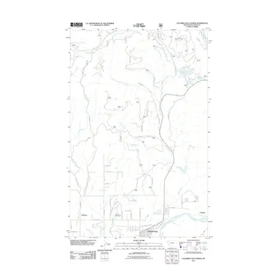
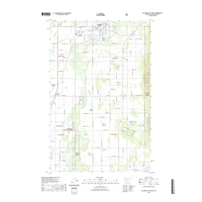
 1994 Columbia Falls North1997 Print · USGSThe Flathead Valley in the mid-1990s reveals a unique blend of heavy industry and wilderness access. Researchers can trace the rail-side operations at the Aluminum Plant near Conkelley or explore the backcountry roads leading toward Spoon Lake and Glacier National Park.
 - 1994 Map of Columbia Falls South, 1997 Print
 1994 Columbia Falls South1997 Print · USGSThe Flathead Valley south of Columbia Falls is captured here in the early 1990s as it maintains its rural character and institutional history. Researchers can locate family landmarks like the Soldiers Home, Woodlawn Cem, and the Deer Park Sch tucked near the Flathead River.
 - 2011 Map of Columbia Falls South, 2011 Print
 2011 Columbia Falls South2011 Print · USGSCovers Columbia Falls, including La Salle, Flathead County, and other nearby areas
 - 2011 Map of Columbia Falls North, 2011 Print
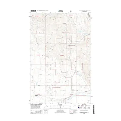
 2011 Columbia Falls North2011 Print · USGSCovers Columbia Falls, including Conkelley, Flathead County, and other nearby areas
 - 2014 Map of Columbia Falls North, 2014 Print
 2014 Columbia Falls North2014 Print · USGSCovers Columbia Falls, including Conkelley, Flathead County, and other nearby areas
 - 2014 Map of Columbia Falls South, 2014 Print
 2014 Columbia Falls South2014 Print · USGSCovers Columbia Falls, including La Salle, Flathead County, and other nearby areas
 - 2017 Map of Columbia Falls South, 2017 Print
 2017 Columbia Falls South2017 Print · USGSCovers Columbia Falls, including La Salle, Flathead County, and other nearby areas
 - 2017 Map of Columbia Falls North, 2017 Print
 2017 Columbia Falls North2017 Print · USGSCovers Columbia Falls, including Conkelley, Flathead County, and other nearby areas
 - 2020 Map of Columbia Falls South, 2020 Print
 2020 Columbia Falls South2020 Print · USGSCovers Columbia Falls, including La Salle, Flathead County, and other nearby areas
 - 2020 Map of Columbia Falls North, 2020 Print
 2020 Columbia Falls North2020 Print · USGSCovers Columbia Falls, including Conkelley, Flathead County, and other nearby areas
 - 2024 Map of Columbia Falls North, 2024 Print
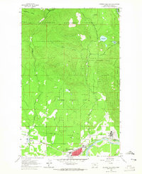
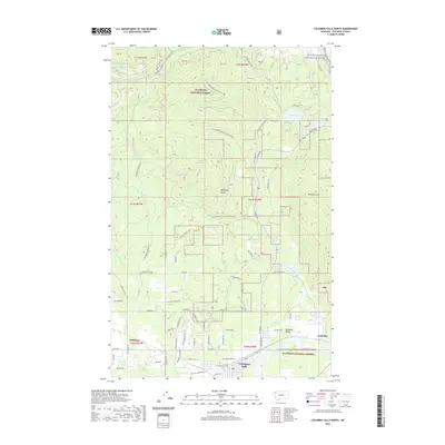
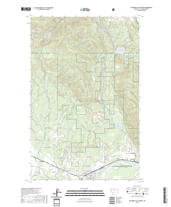 2024 Columbia Falls North2024 Print · USGSThe foothills of the Whitefish Range meet the valley floor in this contemporary look at northern Montana. Researchers can trace the development of timber roads through the Flathead National Forest and locate specific sites like Halfmoon and Conkelley.
 - 2024 Map of Columbia Falls South, 2024 Print
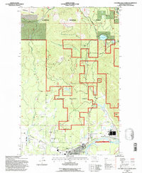
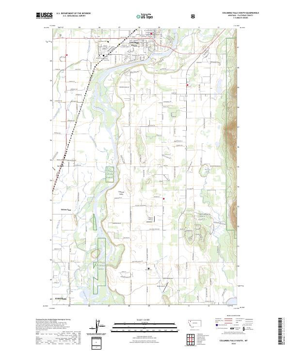 2024 Columbia Falls South2024 Print · USGSThe Flathead Valley is captured in its contemporary era, showing the growth of mountain communities and critical aviation infrastructure. Genealogists can locate several significant burial sites including Saint Richard Cem and Fairview Cem near the banks of the Flathead River.
End of results
Showing maps 1-19 of 19
Top cities near Columbia Falls
Frequently asked questions
- What are the different types of historical maps available for Columbia Falls?
- What is the oldest map of Columbia Falls?
- Where can I purchase historical maps of Columbia Falls for my home or office?
- Where can I download high-res historical maps of Columbia Falls?
- Are there historical topographic maps available for Columbia Falls?
- Is there historical aerial imagery available for Columbia Falls?
- Where are historical maps of Columbia Falls sourced from?