Old Maps of Whitefish, Montana
Explore 28 old maps of Whitefish, spanning from 1943 to today. These high-resolution historic maps reveal how streets, neighborhoods, landmarks, and natural features evolved over time — perfect for genealogy, metal detecting, research, and local history exploration.
What you can do with these maps:
- See how Whitefish changed over time: Compare historical maps to modern-day views to trace roads, homesites, rail lines & more.
- View detailed metadata: Each map includes creators, publishers, year, scale, and archive source.
- Overlay maps with satellite & LiDAR: Visualize the past alongside modern tools to explore terrain & human change.
- Trusted historical sources: Maps sourced from the USGS, Library of Congress, and other archives.
- Access maps your way: View online, download high-res files, or order prints for personal or research use.
Start exploring old maps of Whitefish to uncover forgotten places, hidden landmarks, and the deep history beneath your feet.
Whitefish, MT maps
(28)- 1943 Map of Kalispell
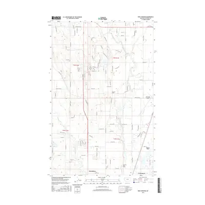
 1943 Kalispell1943 Print · USGSThe Flathead Valley's mid-century rail and river networks are preserved here as Kalispell expanded. Genealogists and historians can trace defunct river crossings like Therriaults Ferry, the old Demersville site, and the rail path of the Somers Kalispell Br.
 - 1957 Map of Kalispell, 1967 Print
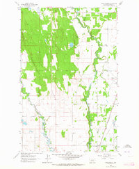
 1957 Kalispell1967 Print · USGSNorthwest Montana in the late fifties showcases a mountain landscape transitioning between wilderness and industry. Genealogists and researchers can trace the Great Northern rail corridor through Kalispell and Whitefish, or locate landmarks like the Montana Soldiers Home and Hungry Horse Reservoir.3 unique versions available
 - 1960 Map of Kalispell
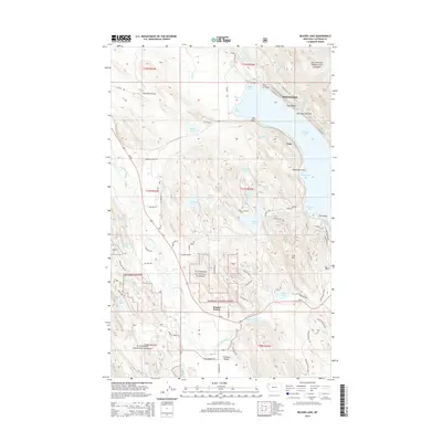
 1960 Kalispell1960 Print · USGSNorthwest Montana in the late fifties is defined by the mountain corridors of the Great Northern Railway and the vast reaches of Glacier National Park. Researchers can trace the legacy of timber and mining towns like Libby, Rexford, and Whitefish, or locate landmarks such as the Snowshoe Mine.
 - 1961 Map of Kalispell
 1961 Kalispell1961 Print · USGSNorthwestern Montana at the start of the 1960s shows a landscape of timber-driven rail towns and the sprawling wild lands of Glacier National Park. Genealogists and historians can trace the route of the Great Northern through mountain passes or locate old settlements like Fortine, Trego, and Warland.
 - 1962 Map of Rose Crossing, 1964 Print
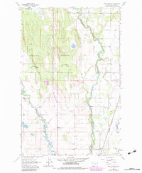
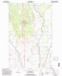
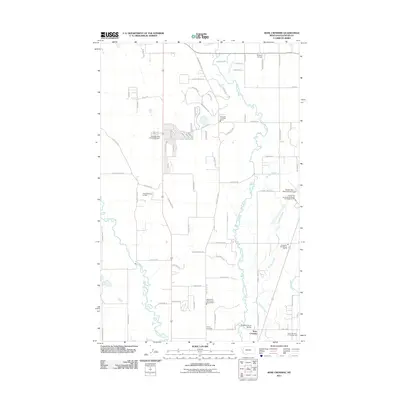
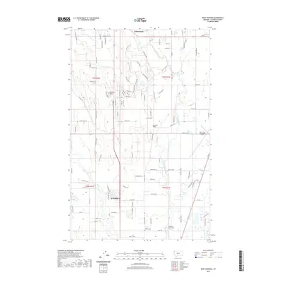
 1962 Rose Crossing1964 Print · USGSFlathead County in the early sixties showcases a landscape defined by river confluences and rural schoolhouses. Researchers can trace the Great Northern line and locate community hubs like Rose Crossing, Midway Grange, and Trinity Cem.3 unique versions available
 - 1962 Map of Beaver Lake, 1964 Print
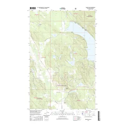
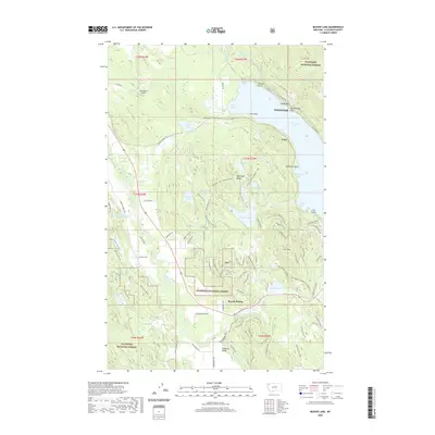
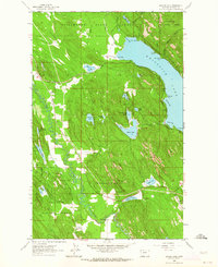 1962 Beaver Lake1964 Print · USGSNorthwest Montana’s timber and lake country comes into focus in the early sixties, showing the vital rail corridors and forest boundaries of Flathead County. Researchers can trace the dual paths of the Great Northern Railroad and Northern Pacific Railroad past Beaver Lake and Round Prairie.3 unique versions available
 - 1962 Map of Whitefish, 1964 Print
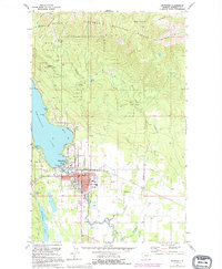
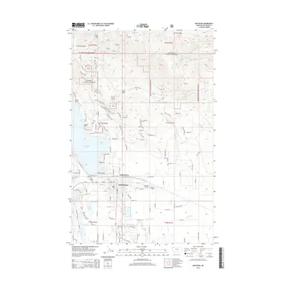
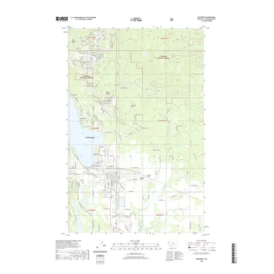
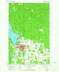 1962 Whitefish1964 Print · USGSWhitefish is shown as a thriving mountain and rail hub in the early sixties, caught between the lakeside and the rising peaks. Genealogists and historians can trace local landmarks like Memorial Sch, the Great Northern rail lines, and the Big Mountain Ski Resort.3 unique versions available
 - 1981 Map of Kalispell, 1982 Print
 1981 Kalispell1982 Print · USGSThe Flathead Valley in the early eighties shows a landscape defined by timber, tourism, and transit. Genealogists and historians can trace the growth of Evergreen, Bigfork, and Somers or locate early aviation landmarks like the Glacier Park Intl Airport.
 - 1982 Map of Rose Crossing, 1983 Print
 1982 Rose Crossing1983 Print · USGSThe Flathead Valley in the early eighties shows a landscape of river-bottom farms and emerging regional infrastructure. Genealogists and local historians can locate the Birch Grove Sch, Trinity Cem, and the Midway Grange near the Whitefish River.
 - 1991 Map of Whitefish, 1995 Print
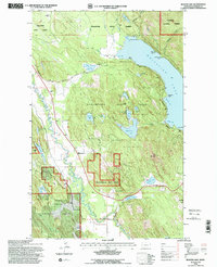
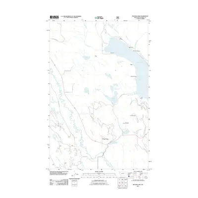
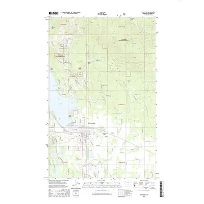
 1991 Whitefish1995 Print · USGSWhitefish was evolving into a year-round mountain destination in the early nineties, as recreational development expanded along the lake and the peaks. Trace the growth of Whitefish and explore landmarks like Big Mountain Ski Resort, Mistletoe Mine, and Whitefish Lake Golf Club.
 - 1994 Map of Beaver Lake, 1997 Print
 1994 Beaver Lake1997 Print · USGSFlathead County in the mid-1990s was characterized by its intricate mountain lake systems and the vital Burlington Northern rail corridor. Researchers can trace the path of the Stillwater River past Twin Bridges or locate the deep waters of Whitefish Lake near Mackinaw Bay.2 unique versions available
 - 1994 Map of Whitefish, 1997 Print
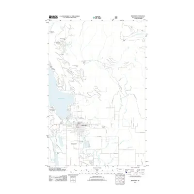
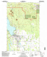 1994 Whitefish1997 Print · USGSWhitefish and the surrounding Flathead National Forest are captured during the mid-1990s as the area's rail and recreation economies thrived. Researchers can trace the town's civic layout from the National Guard Armory to the Whitefish Lake State Park and landmarks like Holbrook Overlook.
 - 1994 Map of Rose Crossing, 1997 Print
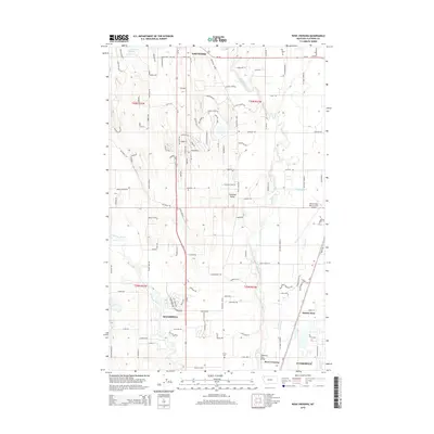
 1994 Rose Crossing1997 Print · USGSThe Flathead Valley in the 1990s shows a landscape of river meanders and expanding infrastructure. Trace local development near Happy Valley or find family history at Trinity Cem and the Helena Flats Sch.
 - 2011 Map of Beaver Lake, 2011 Print
 2011 Beaver Lake2011 Print · USGSCovers Whitefish, including Flathead County, United States, and other nearby areas
 - 2011 Map of Whitefish, 2011 Print
 2011 Whitefish2011 Print · USGSCovers Whitefish, including Flathead County, United States, and other nearby areas
 - 2011 Map of Rose Crossing, 2011 Print
 2011 Rose Crossing2011 Print · USGSCovers Whitefish, including Kalispell, Forest Acres Mobile Home Park, and other nearby areas
 - 2014 Map of Rose Crossing, 2014 Print
 2014 Rose Crossing2014 Print · USGSCovers Whitefish, including Kalispell, Forest Acres Mobile Home Park, and other nearby areas
 - 2014 Map of Beaver Lake, 2014 Print
 2014 Beaver Lake2014 Print · USGSCovers Whitefish, including Flathead County, United States, and other nearby areas
 - 2014 Map of Whitefish, 2014 Print
 2014 Whitefish2014 Print · USGSCovers Whitefish, including Flathead County, United States, and other nearby areas
 - 2017 Map of Beaver Lake, 2017 Print
 2017 Beaver Lake2017 Print · USGSCovers Whitefish, including Flathead County, United States, and other nearby areas
 - 2017 Map of Whitefish, 2017 Print
 2017 Whitefish2017 Print · USGSCovers Whitefish, including Flathead County, United States, and other nearby areas
 - 2017 Map of Rose Crossing, 2017 Print
 2017 Rose Crossing2017 Print · USGSCovers Whitefish, including Kalispell, Forest Acres Mobile Home Park, and other nearby areas
 - 2020 Map of Whitefish, 2020 Print
 2020 Whitefish2020 Print · USGSCovers Whitefish, including Flathead County, United States, and other nearby areas
 - 2020 Map of Rose Crossing, 2020 Print
 2020 Rose Crossing2020 Print · USGSCovers Whitefish, including Kalispell, Forest Acres Mobile Home Park, and other nearby areas
 - 2020 Map of Beaver Lake, 2020 Print
 2020 Beaver Lake2020 Print · USGSCovers Whitefish, including Flathead County, United States, and other nearby areas
Showing maps 1-25 of 28
Top cities near Whitefish
Frequently asked questions
- What are the different types of historical maps available for Whitefish?
- What is the oldest map of Whitefish?
- Where can I purchase historical maps of Whitefish for my home or office?
- Where can I download high-res historical maps of Whitefish?
- Are there historical topographic maps available for Whitefish?
- Is there historical aerial imagery available for Whitefish?
- Where are historical maps of Whitefish sourced from?