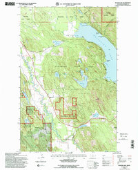
1994 Map of Beaver Lake
USGS Topo · Published 1997About this map
The Stillwater River winds through the western portion of this terrain, defining a drainage system that feeds into numerous smaller bodies of water like Bootjack Lake and Murray Lake. This 1994 revision of the Flathead County landscape shows the dense intersection of state and federal lands, specifically the Stillwater State Forest and Flathead National Forest. The eastern edge is dominated by the sprawling waters of Whitefish Lake, featuring named landmarks such as Mackinaw Point and Hell Roaring Point.
Find a feature on this map
56 named features on this map. Tap any name to fly to it.
Don’t see what you’re looking for? This feature index may not catch every label — zoom into the map to look around manually.
Map Details
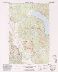
Editions of this 1994 Beaver Lake Map
2 editions found
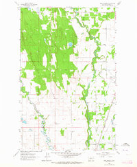
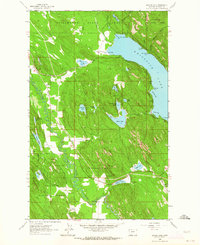
Other maps of this area

1906 · Kintla Lakes
USGS Topo · 1:125,000

1913 · Stryker
USGS Topo · 1:125,000

1916 · Stryker
USGS Topo · 1:125,000

1938 · Kintla Lakes
USGS Topo · 1:125,000

1943 · Kalispell
USGS Topo · 1:125,000

1957 · Kalispell
USGS Topo · 1:250,000

1960 · Kalispell
USGS Topo · 1:250,000

1961 · Kalispell
USGS Topo · 1:250,000
1962 · Rose Crossing
USGS Topo · 1:24,000
1962 · Beaver Lake
USGS Topo · 1:24,000