
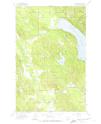
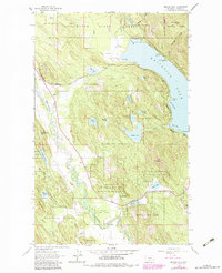
1962 Map of Beaver Lake
USGS Topo · Published 1964About this map
Whitefish Lake and the meandering Stillwater River anchor this topographic study of Flathead County, which documents the dense lake district of northwest Montana in the early 1960s. The landscape is a network of water and timber, protected largely by the Stillwater State Forest and Flathead National Forest. Smaller alpine bodies like Beaver Lake, Spencer Lake, and Bootjack Lake dot the interior, many accessible only by unimproved dirt tracks.
Find a feature on this map
46 named features on this map. Tap any name to fly to it.
Don’t see what you’re looking for? This feature index may not catch every label — zoom into the map to look around manually.
Map Details
Editions of this 1962 Beaver Lake Map
Other maps of this area

1906 · Kintla Lakes
USGS Topo · 1:125,000

1913 · Stryker
USGS Topo · 1:125,000

1916 · Stryker
USGS Topo · 1:125,000

1938 · Kintla Lakes
USGS Topo · 1:125,000

1943 · Kalispell
USGS Topo · 1:125,000

1957 · Kalispell
USGS Topo · 1:250,000

1960 · Kalispell
USGS Topo · 1:250,000

1961 · Kalispell
USGS Topo · 1:250,000

1962 · Rose Crossing
USGS Topo · 1:24,000

1962 · Lost Creek Divide
USGS Topo · 1:24,000