
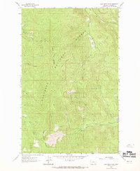
1962 Map of Lost Creek Divide
USGS Topo · Published 1964About this map
Flathead National Forest occupies this high-elevation landscape in the early 1960s, defined by the sharp topographical crests of Lost Creek Divide and Reid Divide. The area is characterized by a network of steep drainages, including Lost Creek, Dettiker Creek, and Taylor Creek, which carve through the dense timber of northwest Montana. Human presence is light and primarily focused on fire management and backcountry access, evidenced by the Lookout Reid Tower 5928 and various named routes like Rhodes Draw. Unlike more developed regions, this map shows a wilderness economy of the era, where surveying and forest management were the primary drivers of documentation. Rare clearings like Mountain Meadow provide notable breaks in the elevation, offering a glimpse into the specific trail networks and pack routes used by foresters and early recreationists before modern road expansion.
Find a feature on this map
15 named features on this map. Tap any name to fly to it.
Don’t see what you’re looking for? This feature index may not catch every label — zoom into the map to look around manually.
Map Details
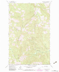
Editions of this 1962 Lost Creek Divide Map
3 editions found
Other maps of this area

1943 · Kalispell
USGS Topo · 1:125,000

1957 · Kalispell
USGS Topo · 1:250,000

1960 · Kalispell
USGS Topo · 1:250,000

1961 · Kalispell
USGS Topo · 1:250,000

1962 · Johnson Peak
USGS Topo · 1:24,000

1962 · Blue Grass Ridge
USGS Topo · 1:24,000

1962 · Beaver Lake
USGS Topo · 1:24,000

1962 · Ashley Mountain
USGS Topo · 1:24,000

1962 · Rhodes
USGS Topo · 1:24,000
1962 · Tally Lake
USGS Topo · 1:24,000