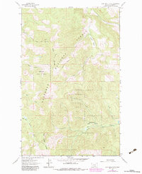
1962 Map of Lost Creek Divide
USGS Topo · Published 1983About this map
Flathead National Forest and the Stillwater State Forest converge in this high-altitude landscape of northwest Montana, centered on the prominent ridgelines of the Lost Creek Divide and Reid Divide. The topography is defined by sharp drainage basins, with waters flowing through Lost Creek, Cyclone Creek, and Mountain Meadow Creek. A distinctive landmark, the Lookout Reid Tower, sits atop the heights of the Reid Divide, serving as a vital fire observation point for the surrounding timberlands.
Find a feature on this map
17 named features on this map. Tap any name to fly to it.
Don’t see what you’re looking for? This feature index may not catch every label — zoom into the map to look around manually.
Map Details
Editions of this 1962 Lost Creek Divide Map
3 editions found
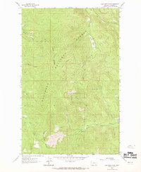
Other maps of this area

1943 · Kalispell
USGS Topo · 1:125,000

1957 · Kalispell
USGS Topo · 1:250,000

1960 · Kalispell
USGS Topo · 1:250,000

1961 · Kalispell
USGS Topo · 1:250,000

1962 · Johnson Peak
USGS Topo · 1:24,000

1962 · Blue Grass Ridge
USGS Topo · 1:24,000

1962 · Beaver Lake
USGS Topo · 1:24,000

1962 · Lost Creek Divide
USGS Topo · 1:24,000

1962 · Ashley Mountain
USGS Topo · 1:24,000

1962 · Rhodes
USGS Topo · 1:24,000