
1962 Map of Blue Grass Ridge
USGS Topo · Published 1964About this map
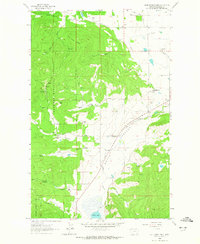
Smith Valley and the surrounding timberlands of the Flathead National Forest reveal a mid-century landscape of agricultural ranching and community infrastructure. The map depicts a transition from the elevated Blue Grass Ridge and Bald Mtn down into the valley floor, where rural education and social life centered around the Boorman Sch, Batavia Sch, and the Stillwater Grange. This area west of the Flathead Valley was defined by its water sources, with numerous named springs and Smith Lake supporting family-held properties such as the Keller Ranch, Danielson Ranch, and Conrad Ranch.
Find a feature on this map
32 named features on this map. Tap any name to fly to it.
Don’t see what you’re looking for? This feature index may not catch every label — zoom into the map to look around manually.
Map Details
Editions of this 1962 Blue Grass Ridge Map
3 editions found
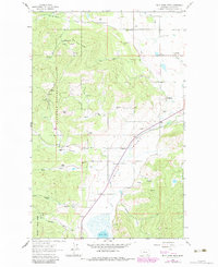
Other maps of this area

1943 · Kalispell
USGS Topo · 1:125,000

1957 · Kalispell
USGS Topo · 1:250,000

1960 · Kalispell
USGS Topo · 1:250,000

1961 · Kalispell
USGS Topo · 1:250,000

1962 · Kila
USGS Topo · 1:24,000

1962 · Rose Crossing
USGS Topo · 1:24,000

1962 · Lion Mountain
USGS Topo · 1:24,000

1962 · Lost Creek Divide
USGS Topo · 1:24,000

1962 · Rhodes
USGS Topo · 1:24,000
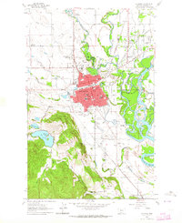
1962 · Kalispell
USGS Topo · 1:24,000