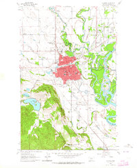
1962 Map of Kalispell
USGS Topo · Published 1964About this map
The Stillwater River and Whitefish River converge just north of the growing city center of Kalispell in the early 1960s. This survey highlights a transitional period for the area, where the concentrated urban grid of the county seat—anchored by the Courthouse and City Hall—is surrounded by emerging suburban developments like Northridge Heights and Evergreen. The landscape reveals a complex network of public institutions and civic spaces, from the centrally located Flathead Co High Sch to the expansive Stillwater State Game Reserve bordering the riverbanks. To the southwest, the terrain rises toward Lone Pine State Park and Foys Bend, overlooking the Flathead River. This geography supported a diverse local economy ranging from the Great Northern rail operations to the specialized aviation at Kalispell Municipal Airport and agricultural holdings like Shelter Valley Ranch.
Find a feature on this map
56 named features on this map. Tap any name to fly to it.
Don’t see what you’re looking for? This feature index may not catch every label — zoom into the map to look around manually.
Map Details
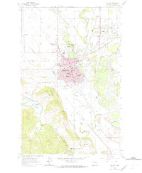
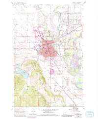
Editions of this 1962 Kalispell Map
3 editions found
Other maps of this area

1943 · Kalispell
USGS Topo · 1:125,000

1957 · Kalispell
USGS Topo · 1:250,000

1960 · Kalispell
USGS Topo · 1:250,000

1961 · Kalispell
USGS Topo · 1:250,000

1962 · Kila
USGS Topo · 1:24,000

1962 · Columbia Falls South
USGS Topo · 1:24,000

1962 · Rose Crossing
USGS Topo · 1:24,000

1962 · Blue Grass Ridge
USGS Topo · 1:24,000

1962 · Lion Mountain
USGS Topo · 1:24,000

1962 · Somers
USGS Topo · 1:24,000