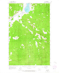
1962 Map of Kila
USGS Topo · Published 1964About this map
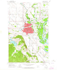
Smith Lake and its surrounding wetlands dominate the northern reaches of this Montana landscape, where the small settlement of Kila marks a point of access into the forest. The terrain transitions from the open Truman Creek Valley into the dense timber of the Flathead National Forest. This 1962 field-checked survey reveals a backcountry defined by peaks such as Wild Bill Mountain and Eagle Mountain, connected by a network of Pack Trails and Jeep Trails. The presence of the C M Quarter Circle Ranch and several outlying structures like Truman Cabin and Norden Cabin indicates a landscape primarily used for ranching and forest management. These family-named landmarks and remote cabins offer a look at the mid-century habitation patterns in the hills west of Kalispell.
Find a feature on this map
24 named features on this map. Tap any name to fly to it.
Don’t see what you’re looking for? This feature index may not catch every label — zoom into the map to look around manually.
Map Details
Editions of this 1962 Kila Map
2 editions found
Other maps of this area

1920 · Flathead Lake
USGS Topo · 1:125,000

1943 · Kalispell
USGS Topo · 1:125,000

1956 · Wallace
USGS Topo · 1:250,000

1957 · Kalispell
USGS Topo · 1:250,000

1960 · Kalispell
USGS Topo · 1:250,000

1960 · Wallace
USGS Topo · 1:250,000

1961 · Kalispell
USGS Topo · 1:250,000
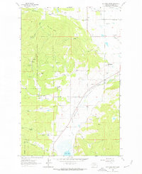
1962 · Blue Grass Ridge
USGS Topo · 1:24,000
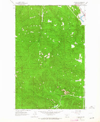
1962 · Lion Mountain
USGS Topo · 1:24,000
1962 · Kalispell
USGS Topo · 1:24,000