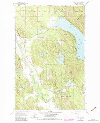
1962 Map of Beaver Lake
USGS Topo · Published 1983About this map
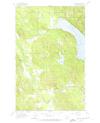
Whitefish Lake dominates the eastern edge of this landscape, its shoreline marked by prominent points such as Hell Roaring Point and Inez Point. This 1960s survey, revised in the early 1980s, illustrates the complex water network between the Stillwater River and the lake, where numerous smaller basins like Beaver Lake and Skyles Lake dot the timbered terrain. The presence of the Burlington Northern railroad corridor, tracking through the northwestern corner near Depew and the western banks of Whitefish Lake, signifies the region's historical reliance on rail for transporting timber and goods.
Find a feature on this map
44 named features on this map. Tap any name to fly to it.
Don’t see what you’re looking for? This feature index may not catch every label — zoom into the map to look around manually.
Map Details
Editions of this 1962 Beaver Lake Map
Other maps of this area

1906 · Kintla Lakes
USGS Topo · 1:125,000

1913 · Stryker
USGS Topo · 1:125,000

1916 · Stryker
USGS Topo · 1:125,000

1938 · Kintla Lakes
USGS Topo · 1:125,000

1943 · Kalispell
USGS Topo · 1:125,000

1957 · Kalispell
USGS Topo · 1:250,000

1960 · Kalispell
USGS Topo · 1:250,000

1961 · Kalispell
USGS Topo · 1:250,000

1962 · Rose Crossing
USGS Topo · 1:24,000

1962 · Beaver Lake
USGS Topo · 1:24,000